The northern plains including Punjab, Haryana, North Rajasthan and West Uttar Pradesh recorded more than the normal rains in January. However, right from the fag end of the month until now, it has rather been a lean period in terms of weather activities for the plains.
Although there has been aWestern Disturbance (WD) over the Himalayas, it has confined rains only to the hills. While it has majorly failed to bring any significant activity in the plains except for a change in the wind pattern.
Due to a feeble weather system, traces of rain have been recorded in parts of Punjab during last 24 hours. The remaining regions in the northern plains have remained dry with cloudy sky conditions. The only effect that this system has been able to cause is the change in the direction of winds owing to whichminimums have increased by a couple of degreesacross the northern plains.
The system, however, has started moving away due to which cold northerlies may resume for some time leading to a marginal drop in the morning temperatures yet again.
But, at the same time, weather models are also indicating the approach of another (not so strong) WD, probably tomorrow, which may increase the minimums marginally. Thus, for the next 48 hours, both minimums and maximum are likely to witness a rise and drop simultaneously.
Just like the former one, this weather system might also fail to give any rains in the plains and may restrict the weather activities only to upper reaches (northern hills) as well as along the foothills.
Prolonged cold and dry spell from Feb 7 to 11
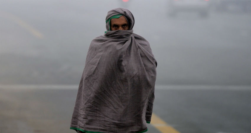
After the passage of this WD, no other system is expected to form that would hold back the flow of cold winds from the snow-clad mountains of the Himalayas. Hence, strong northerlies are going to influence theweather of northern plains leading to a prolonged dry and cold spellfrom February 7 to February 11. The period would also observe a steep fall in the temperatures.
In fact, the minimums in parts of North Punjab and Haryana such asAmritsar,Jalandhar,Kapurthala,Ambala,KarnalandHisarmay come down to 3-4 degrees Celsius. And cold wave conditions and fog may return to some more parts (already existing in one or two pockets).
The weather conditions are going to be as such as they were in the initial days of February, wherein the mercury had dropped to single-digits, less than 5 degrees in some parts, even touching 2-3 degrees in one or two pockets.
In general, February is the rainiest amongst the winter months. However, the weather has remained dry until now. And considering fewer chances of rain for a week or so, the period between February 7 and February 11 is going to be dry and cold.
Such prolonged cold and dry spell, however, is not something unusual. In 2018, the northern plains witnessed a dry spell from January 25 to February 10. In 2016, the dry spell continued from January 31 to February 11. While the year 2015 witnessed the longest dry spell from January 22 to February 15.
Next rainy spell on Feb 11
After this prolonged cold and dry spell, the next rainy spell is anticipated for northern plains on February 11 and 12 on account of a fresh Western Disturbance. The rains would put an end to the dry spell while the change in the wind pattern is expected to increase the temperatures and bring relief from cold weather.
Image Credits – Tribune
Any information taken from here should be credited to Skymet Weather


