Rains have once again increased over Madhya Maharashtra and Marathwada, with Solapur observing 27 mm of rainfall, Sangli 7 mm and Kolhapur 6 mm in a span of 24 hours from 8:30 am on Thursday. Such rainfall figures are good for the parched region of Marathwada that received the least amount of rainfall throughout Monsoon.
According to our meteorologists, on and off rains would continue in many parts of Maharashtra, particularly Madhya Maharashtra and Marathwada for the next few days. The city of Pune stands a chance to witness patchy rains with a few moderate to intense spells during the next two to three days leading to comfortable weather. However, these rains would be localised.
Later, around October 8, a Cyclonic Circulation is likely to form over North Interior Karnataka and adjoining areas of Maharashtra which may enhance the rainfall activities over South Madhya Maharashtra and parts of Marathwada.
This system would bring on and off light to moderate rain over many parts of the state, wherein Sindhudurg, Raigad, and Ratnagiri in Konkan and Goa may observe a few good spells of rain. However, chances of heavy rains are less.
The weather inMumbaiwas running almost dry for quite some time now, with increased temperatures adding to discomfort levels. However, some patchy light showers appeared during the last 24 hours in parts of the dream city.
There is a forecast of more intermittent light patchy rains for another four to five days i.e. until October 10, with an increased intensity between October 8 and 10 in the wake of Cyclonic Circulation.
AlthoughSouthwest Monsoonended with a surplus note for Maharashtra, post Monsoon commenced on a dry note for most parts of the state. And only a few districts have been lucky to receive isolated light rains since the beginning of October.
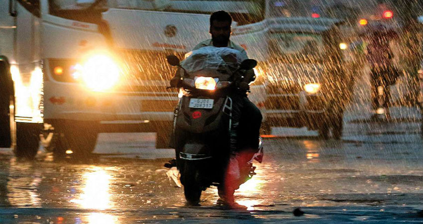
Image Credits – DNA India
Any information taken from here should be credited to Skymet Weather


