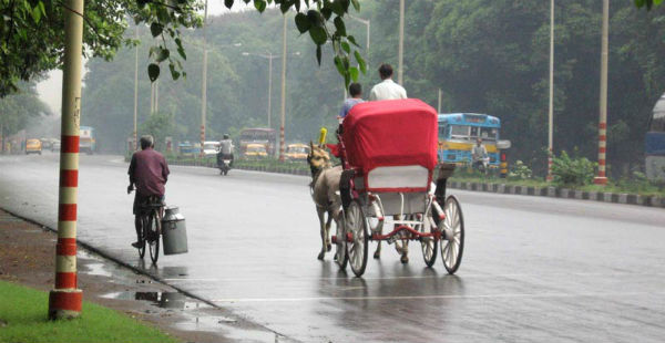
Kalbaisakhi has remained active in parts of East India during the past many days. During the last 24 hours also, good rains occurred over West Bengal and parts of North Odisha.
[yuzo_related]
In the last 24 hours from 8:30 am on Thursday, Kolkata recorded 29.6 mm of rain, Bardhaman 28.3 mm, Asansol 6.7 mm, Baharampur 6.0 mm, Bankura 20.6 mm, Digha 12 mm, Midnapore 6.4 mm, Balasore 1.4 mm.
Currently, a cyclonic circulation is seen over West Bengal and adjoining Bihar and another over Meghalaya and adjoining Assam. A trough is seen extending between these two weather systems.
Therefore, light to moderate rains with one or two heavy spells are expected over West Bengal and northern parts of Odisha. Heavy spells with frequent thunder and lightning strikes as well as squally winds are expected over parts of Gangetic West Bengal and North Odisha during next 24 to 48 hours.
Thereafter, rain intensity may decrease but on and off rains and thundershowers will continue till first week of May as the cyclonic circulation is expected to persist over West Bengal and nearby areas with slight oscillation to east or west.
As this is the pre-monsoon season, the time of occurrence of these activities will mostly be confined to late evenings or early mornings.
The temperatures over West Bengal are already below normal, and we expect the temperatures to remain on lower side for at least next 4-5 days, parts of Odisha will also witness below normal temperatures.
Image Credit: Rainsinindia
Any information taken from here should be credited to skymetweather.com


