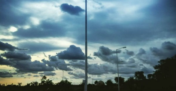
Pre Monsoon activities are lashing the northwestern regions of the country. Many parts of North Rajasthan, South Haryana, Delhi and West Uttar Pradesh experienced dust storm, thunderstorm activity along with squall during the last 24 hours.
[yuzo_related]
In fact, few districts of these regions also recorded rainfall activity. During the last 24 hours from 8:30 am on Friday, Pilani recorded rain to the tune of 89mm, Narnaul 18 mm, Bharatpur 20 mm, Bahraich 43 mm, Gorakhpur 21 mm, Jaipur 3 mm, Safdarjung Observatory of Delhi 5 mm and Palam 5.4 mm.
The prevailing Western Disturbance over Jammu and Kashmir is now moving away. Henceforth, pre Monsoon activities would reduce over the northwestern plains today.
However, a fresh Western Disturbance would affect the region from tomorrow evening. The induced cyclonic circulation over Northeast Rajasthan and adjoining Haryana now lies over Northwest Madhya Pradesh. A trough is extending from this system to Jharkhand across North Madhya Pradesh.
As per Skymet Weather, weather activity is likely to reduce over Rajasthan as well as Haryana and South Punjab during the next 24 hours but isolated weather activity is likely at some parts.
However, pre Monsoon rains accompanied with squall would increase over central and eastern parts of Uttar Pradesh during the next 24 hours. Places such as Kanpur, Lucknow, and Gorakhpur in Uttar Pradesh are expected to record weather activity today.
Meanwhile, weather in Delhi is expected to remain very warm and humid day during the day. Though, there are chances of rain or dust storm at few parts today.
West Rajasthan is expected to witness very hot weather. The fresh Western Disturbance is likely to affect the northwestern plains around April 9. During that time, pre Monsoon activities are likely to pick up the pace once again.
As per weathermen, temperatures have witnessed a marginal drop in view of the rains. However, they would rise once again as the activities would reduce in many parts barring a few.
IMAGE CREDIT: Wikipedia.org
Any information taken from here should be credited to skymetweather.com


