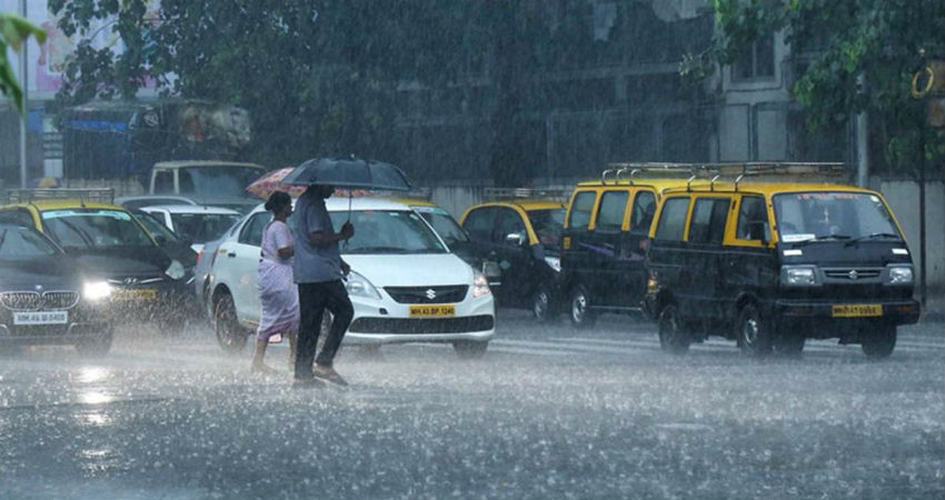
Mumbai woke up with a pleasant surprise of lightning, and thundershowers associated with light rains. Well marked low pressure area over the East Central Arabian Sea has already started showing its impact over many parts of Maharashtra including Mumbai.
This well marked low will soon intensify into a depression and subsequently into a cyclone Nisarga. At present sea conditions are favorable as the sea surface temperature is around 31-32 degrees, and the vertical wind shear is high around 25-30 Kts.
We do not expect the cyclone to intensify into a severe cyclone. This weather system will move in the northerly direction until tomorrow, thereafter it will start moving in North North West direction and expected to reach North Maharashtra and South Gujarat coast around June 3rd.
Sea conditions will remain rough to very rough along Maharashtra and Gujarat coast. Therefore, it is advised not to venture into the sea until the morning of June 5th.
We expect heavy to very heavy rains along the West Coast. Heavy rains will continue over Kerala and Karnataka during the next 24 hours. Heavy to very heavy rains are possible over Konkan and Goa including Mumbai between June 2nd and 3rd. Gujarat will get heavy to very heavy rains with one or two extremely heavy spells between June 3rd and 5th.
After reaching the coast, the cyclone will start weakening and more in north north easterly direction, and rains will increase over the South and East Rajasthan as well as over western parts of Madhya Pradesh.
This will be the second cyclone of season and first in the Arabian Sea.
Skymet is keeping a keen watch over the system and will keep updating.


