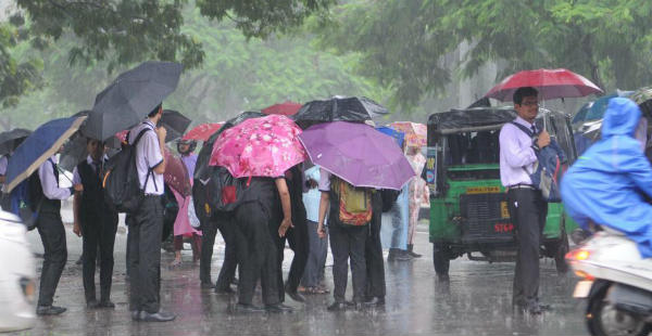
As predicted by Skymet Weather, after a long break, some rains are finally expected to appear over parts of East India, particularly, over parts of West Bengal, Jharkhand, and Odisha.
This would give the eastern belt of the country a major relief from the rising mercury levels that are seen settling in upper 30’s, with some parts even reaching or surpassing the 40-degree mark.
However, isolated stations of West Bengal, close to Bangladesh got to witness light spells in the last 24 hours as well.
Skymet Weather predicts that parts of West Bengal and Jharkhand may witness isolated heavy showers accompanied by strong gusty winds reaching up to 40-50 knots today by afternoon or evening hours. However, the activity is expected to reduce after 24 hours over parts of West Bengal and Jharkhand.
On the other hand, scattered rain is foreseen over Odisha for the day which may increase after next 24 hours.
[yuzo_related]
The mainly affected areas include Murshidabad, Birbhoom, Bardhhaman,Bankura, Purulia, and Midnapore.Kolkatamay also witness some rain and thundershowers, however, in contrast with the other stations of the state, the intensity would be lesser.
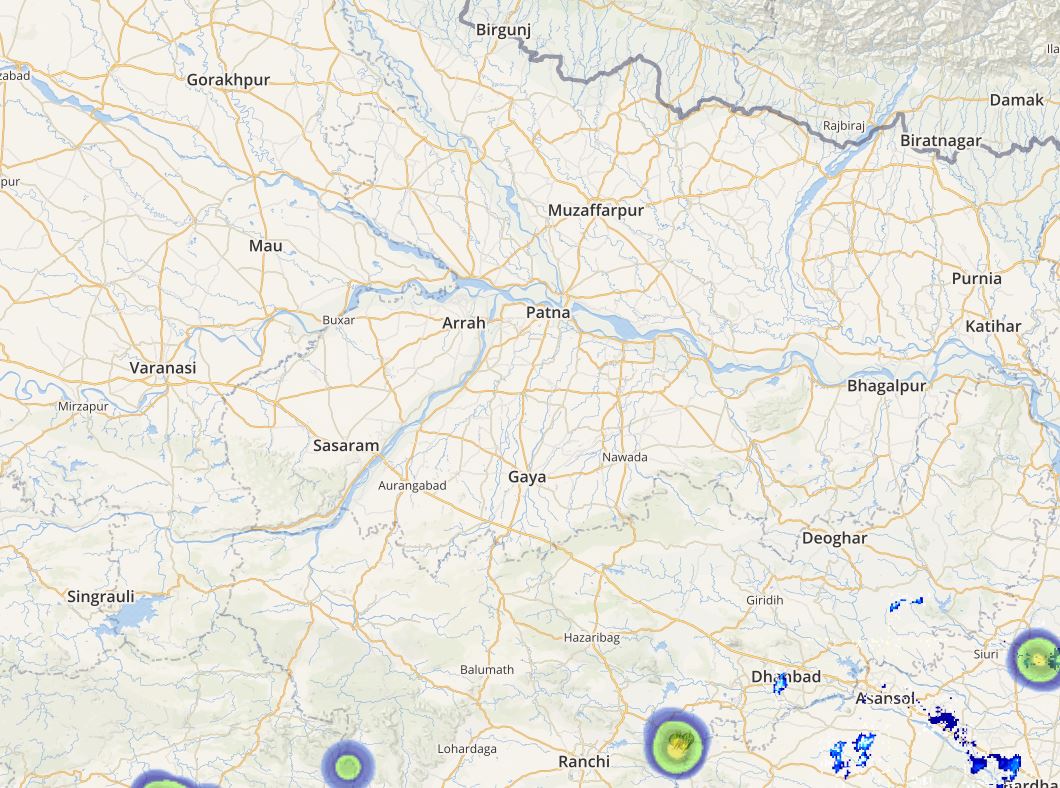
Click here to get the live lightning and thunderstorm status across Jharkhand, West Bengal,andOdisha
Moreover, Bokaro,Ranchi,Jamshedpur, Dhanbad, Deogarh,Chaibasa, Baripada, Mayurbhanj,Angul, and Kalahandi may also get to see rain and thundershowers.
As per Skymet weather, a Western Disturbance as an upper air system is moving across East Tibet, which is northeast of Uttar Pradesh and Bihar. Moreover, a cyclonic circulation is also marked over Jharkhand, and a trough is extending from Central India to Northeast India.
Thus, the combined effect of all these weather systems would result in rains over parts of Jharkhand, West Bengal, and Odisha. Further, in comparison with the coastal stations, the interior regions would get more affected by these rain and thundershowers.
ImageCredit: time and date
Any information taken from here should be credited to skymetweather.com


