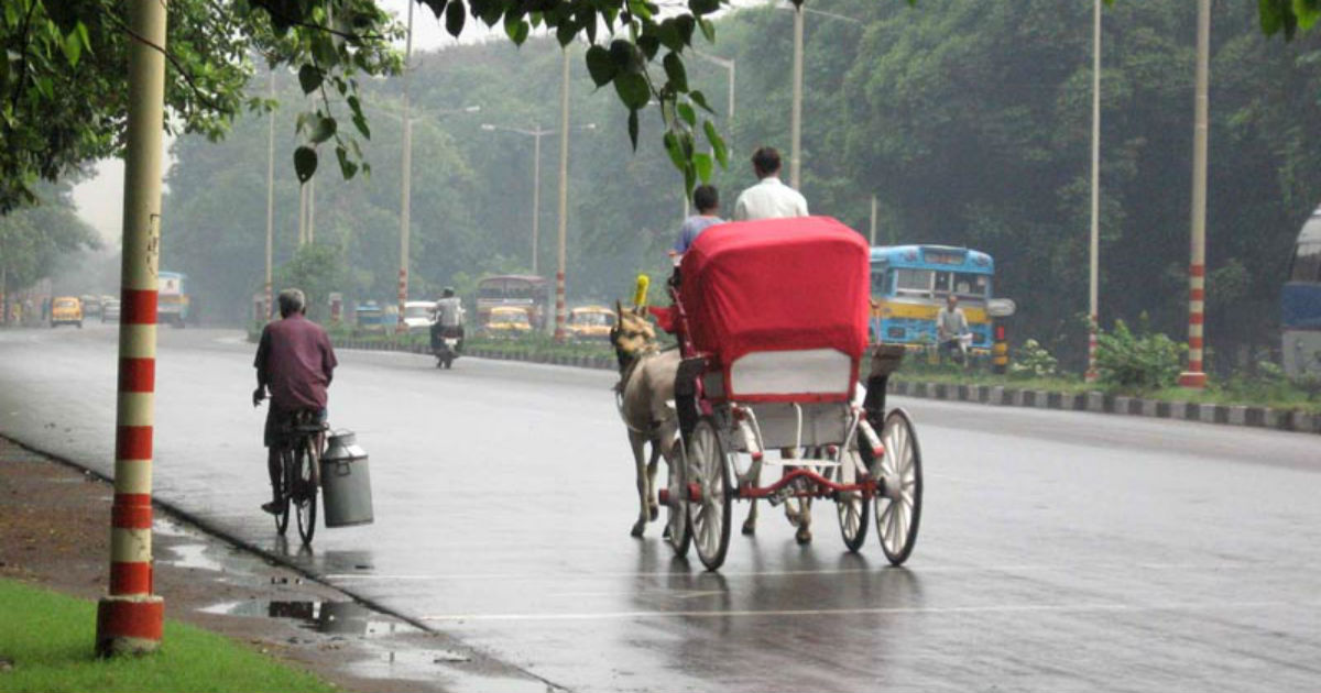
Since the last two days, light to moderate pre-Monsoon rain and thundershower activities are going on over parts of Sub-Himalayan West Bengal and Bihar.
At present, a cyclonic circulation is seen over the eastern parts of Bihar and a trough is extending from this system up to Odisha across parts of West Bengal. Therefore, now we expect pre-Monsoon weather activities to increase over parts of Bihar and West Bengal including few places of Gangetic West Bengal.
Kolkata and its adjoining areas may witness light to moderate rain and thundershower activities with few heavy spells and lightning strikes. Strong surface winds in the order of 60 to 70 kmph gusting to 80 kmph may also occur. Isolated hailstorm activity cannot be rule out.
Although Monsoon is yet to arrive over the northeastern states or the mainland i.e. Kerala, certainly rain intensity has increased over the eastern and northeastern parts of the country. In fact, these increased rains will continue for the coming three to four days.
Moreover, easterly winds from the Bay of Bengal are reaching up to the National Capital Region across Indo-Gangetic Plains of Bihar, Jharkhand and Uttar Pradesh. Thus, the temperatures in Bihar and West Bengal are expected to subside gradually.
Therefore, we can say that most parts of Bihar and West Bengal will be observing comfortable weather conditions in the coming days.
Image Credit: Wikipedia
Please Note: Any information picked from here must be attributed to skymetweather.com


