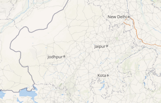
After reeling under dry weather conditions, finally, the weather in Rajasthan has taken a U-turn. Under the influence of a Western Disturbance, an induced cyclonic circulation has developed over Central Pakistan and adjoining parts of West Rajasthan. Due to this weather system, the weather of Rajasthan has turned cloudy since Monday morning with rains occurring at a few stations.
While parts of North Rajasthan like Churu, Sikar, Ajmer have already witnessed some light spells around March 15-16, the other parts of the desert state have remained mainly dry for more than a fortnight. Meanwhile, some light spells occurred over Mount Abu, Jaipur and adjoining regions in the past 24 hours.
[yuzo_related]
Skymet Weather predicts that barring Jaisalmer and Barmer, all other districts of the state may encounter isolated thunderstorm and dust storm with chances of light rain for next 24 hours.
Click here to get the live lightning and thunderstorm status across Rajasthan
Light dust storm or thundershowers with few drops of rain may occur at few parts over Ajmer, Alwar, Bhilwara, Bikaner, Bundi, Churu, Dausa, Sri Ganganagar, Hanumangarh, Jaipur, Jhunjhunu, Jodhpur, Karauli, Nagaur, Pali, Sawai Madhopur, Sikar and Tonk districts of Rajasthan during next 2-4 hours.
These pre-Monsoon activities are expected to occur until today evening. Thereafter, though the weather would start clearing up over many parts of Central and South Rajasthan, places like Bikaner, Sri Ganganagar, Hanumangarh, and Churu may continue to receive scattered rain and thundershowers for another 24 hours until March 21.
These dust storm and rain activities are common during the pre-Monsoon season. Moreover, the frequency and intensity of these activities gradually increase in the months of April and May accompanied by the rise in temperatures. These pre-Monsoon activities usually reach their peak during the later parts of April and May.
Image Credit: TourMyIndia
Any information taken from here should be credited to skymetweather.com


