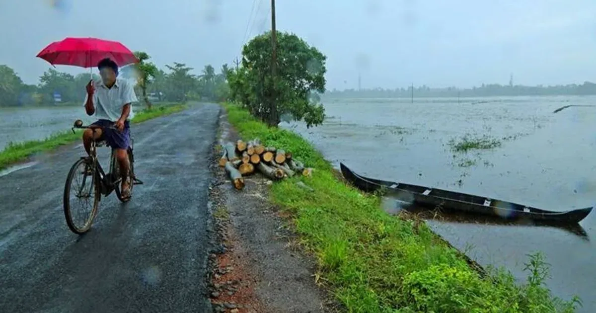
 Pre Monsoon activity continues to lash the state of Karnataka. South Karnataka is receiving more rainfall as compared to the northern parts of the state. The intensity has increased more since last two to three days. In fact, capital cityBengalurualso recorded heavy pre Monsoon rain during the past day after a gap of around five to six days.
[yuzo_related]
In the last 24 hours from 8:30 am on Thursday, Bengaluru recorded 49.5 mm of rain, Gadag 27.2 mm, Belgaum 24.2 mm,Chitradurga12.4 mm and Karwar 8.8 mm of rain.
Earlier a trough was extending from North Interior Karnataka to Tamil Nadu across South Interior Karnataka which was responsible for the showers over the region.
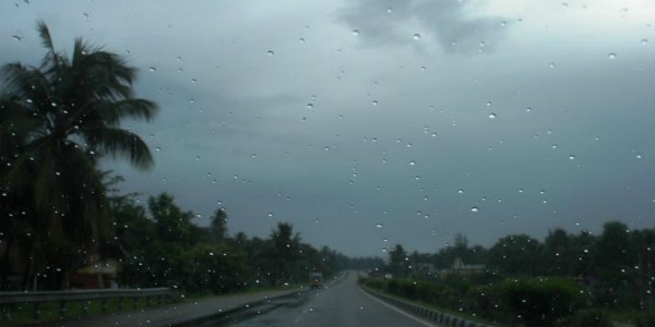
As per Skymet Weather, now a cyclonic circulation has developed over Lakshadweep area and a trough is extending from this system up to North Interior Karnataka. Therefore, we expect good rains to continue over South Interior Karnataka and isolated places over North Interior Karnataka. These pre Monsoon showers are expected to continue during the next two to three days.
In fact, Bengaluru and nearby districts of South Karnataka are also likely to witness good rains in coming days. As per weathermen, the occurrence of these showers will be confined to late afternoon and evening hours.
In wake of the heavy showers over Bengaluru, the minimum temperatures dropped by 2°C to 3°C. Meanwhile, the maximums are settling in mid-30s. In spite of these showers, the weather during the day would be warm and humid but the morning and nights would be comfortable.
IMAGE CREDIT: Timeanddate.com
Any information taken from here should be credited to skymetweather.com