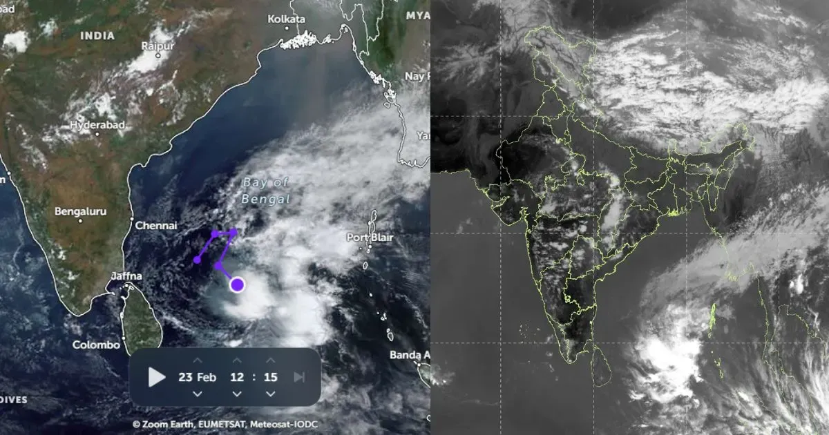
With the Heatwave abating the country, some parts, particularly East India is geared up to host the pre-Monsoon showers.
A trough is extending from eastUttar Pradeshto Tripura acrossBihar, Jharkhand and Gangetic West Bengal. Another part of the trough is extending from Gangetic West Bengal to north of Chhattisgarh across Odisha. Southerly southeasterly moist winds are prevailing over this area. And the day temperatures are above normal by 1 to 2 degree Celsius.
The condition is favorable for pre-monsoon activities. Scattered intense rain and thundershowers with squall at some pockets is expected. Winds may gust to 80 to 100 kmph for a short duration. Yesterday we observed this weather behavior over Kolkata, Bhubaneswar and Chandbali. This phenomenon is expected to continue over the region for next 48 hours.
Another reason that aids pre-monsoon activities in the region is the formation of cyclonic circulation over the north of Bay of Bengal. This weather system has brought dark thundery clouds over Odisha and West Bengal, thus light to moderate rain is expected.
Bhubaneswarhas been witnessing thundershowers since yesterday morning due to which visibility dropped to 500 meters for few hours.
Kolkatawitnessed short spell of rain yesterday and it is expected to continue today and tomorrow also. Kolkata is likely to surpass its monthly average rainfall of 136.6 mm. The city has already recorded 135.7 mm of rain till now.
Kolkata recorded 56 mm of rain on Monday, which was highest rainfall recorded in 24 hours in past 10 years.
Image Credit: Indiatoday


