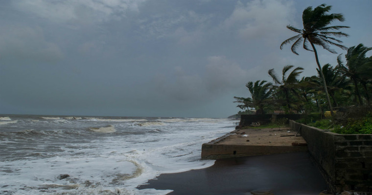
The tourist destination Goa becomes synonymous with the pre-monsoon thunderstorm and rain during the second half of May. The coastal town has not observed any significant activity this year, so far. Only light showers were observed on two days, amounting to 7mm of rainfall. The monthly normal for the city is about 35mm. No significant rainfall is likely for the next one week and the city of beaches may continue with warm and sultry weather.
Pre-monsoon thunderstorm activity is likely to build up over Kerala and Coastal Karnataka. An offshore vortex will take the heavy rainfall activity over Kerala and southern parts of Coastal Karnataka. This may stop short of Karwar, the neighbouring city of Goa. Typical pre-monsoon and then monsoon showers will have to wait for the surge to build up. It is nearly following the track lines of last year when there was the least pre-monsoon activity throughout the month. The year previous to that, in May 2022, the colonial city had off-and-on, sporadic showers, beating the pre-monsoon heat and humidity.
The mercury levels for the next week will remain in mid 30’s (Max) and mid 20’s(Min). However, the humidity levels will be very high, swinging from 85% in the morning to about 60% in the afternoon. A combination of high humidity and moderate temperatures will raise discomfort during the bright sunshine hours. Sea breeze during the evening will mitigate this malaise. However, the real comfort will arrive with the monsoon rains, often heavy and frequent, after the first week of June.
Image Credit:static.toiimg.com


