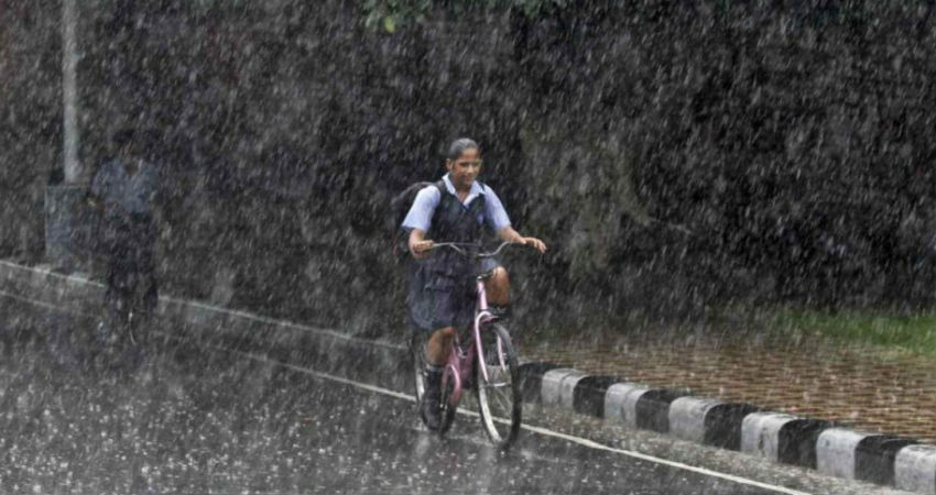
The state of Haryana was reeling under dry and hot weather conditions for some time. However, in the last four to five days, easterly winds that are cooler in nature took over the state and helped in marginally pulling down the soaring temperatures. Some other major activities like rain in the region also helped in getting rid of dry weather conditions in the last 24 hours.
According to Skymet Weather, Haryana was lucky to receive fairly widespreadrain and thundershower activities along with isolated dust storm activities, yesterday. In fact, some places like Panipat and its adjoining areas even reported hailstorm.
The weather activity was due to the Western Disturbance over Jammu and Kashmir and its induced Cyclonic Circulation over the northern parts of Haryana.
In the wake of these activities, a significant fall has been observed in the day temperature. The night temperature has also reported a drop of 3℃ to 5℃.
According to our meteorologists, the weather systems that were giving rains over the state have now moved away. Thus, pre- Monsoon activities will decrease over the state and as a result maximums will once again shoot up. Moreover, the wind pattern will also undergo a change from south-easterlies to north/north-westerlies. These winds are expected to continue until June 10 in the region. In fact, under the influence of these winds, isolated pockets such as Sirsa, Fatehabad, Hisar, Bhiwani and Narnaul may come under the grip ofheat wave conditions.
Relief is expected around June 11, when a fresh Western Disturbance will approach the Western Himalayas and an induced Cyclonic Circulation will be seen over Central Pakistan and adjoining Punjab and Haryana. These weather systems will initiate pre- Monsoon activities once again in the form of dust storm and light rains.
Image Credits – Pinterest
Any information taken from here should be credited to Skymet Weather


