
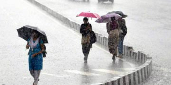
The State of Odisha and Andhra Pradesh have been recording good monsoon rainfall for the past few days. In fact, the entire monsoon season has been a positive one for both these States.
The frequent appearance of rainfall activities over the states can be attributed to the regular development of cyclonic circulations in the Bay of Bengal. Thus, good rains did lash both the states in abundance.
[yuzo_related]
The last 24 hours also not very different as per the states recorded light to moderate rainfall. In a span of 24 hours from 8:30 a.m on Saturday, Kurnool recorded a whopping 53 mm of rain, Cuddappah 8.2 mm, Machilipatnam 8 mm, Nellore 1.1 mm, Vijayawada 1.2 mm, Balasore 8.1 mm, Bhawanipatna 34 mm, Bhubaneswar 3.3 mm, and Chandbali 3.6 mm.
Check out the live lightning and thunderstorm status across Odisha and Andhra Pradesh
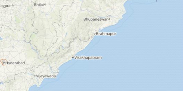
Please rainfall activities can be attributed to a cyclonic circulation over North East Bay of Bengal off the north Odisha coast. In fact this system is expected to develop into a low pressure area in the next 24 hours.
Thus, both coastal Odisha as well as Andhra Pradesh coast are expected to receive moderate rainfall activity during the next 24 hours. Not only this, isolated pockets me also witness heavy rainfall during the same time frame.
Due to this, temperatures are expected to remain in the comfortable range. In fact, nights are likely to remain pleasant over the region.
Image Credit: ndtv
Please Note: Any information picked from here must be attributed to skymetweather.com
