After having a large deficit of rainfall in the month of January 2024, the plains of north India recovered significantly, in February. Courtesy, of heavy showers at the start of the month, the shortfall was reduced, substantially. However, there was a lull for the last more than 10 days. Conditions are getting revived, as the fresh weather systems get lined up to lash many parts of the region with decent winter showers.
An active western disturbance across the northern mountains has already initiated a snow and rain spell. A support system has moved across the border, over parts of Punjab as cyclonic circulation. Under the combined influence of these two systems, an extended rainfall activity is expected over plains of north India, for the next four days. Winter showers are likely to lash many parts between 19th and 22ndFeb.
Foothills of Punjab, Haryana, Chandigarh and West Uttar Pradesh will have intense activity. Northern parts of these states will have scattered winter showers. Border areas of Punjab and contiguous parts of Haryana with the neighbouring state of Rajasthan will have minimal weather activity. Locations like Pathankot, Gurdaspur, Amritsar, Jalandhar, Ludhiana, Ropar and Chandigarh can expect decent showers between the 19th and 22ndFeb. However, Muktsar, Firozpur, Bhatinda and Fazilka may skip these rains. In Haryana, Ambala, Karnal, Panipat, Sonipat, Yamunanagar and Panchkula may witness sporadic winter rains, while Hisar, Sirsa, Fatehahabad and Bhiwani may get left out. In Uttar Pradesh, rains will get extended to cover foothills and interior parts as well. Sambhal, Amroha, Bijnor, Saharanpur, Muzaffarnagar, Shamli, Moradabad, Meerut, Pilibhit and Bareilly will become a favourite for rainfall and thundershowers. Rain and thundershowers are likely to reach Lucknow, Kanpur and Prayagraj between 20th and 22ndFeb. Light rainfall is likely over East Uttar Pradesh and Bihar, as well, for a day or two. The national capital too falls within the area of influence for mild weather activity.
Weather activity is expected to cease on 23rdFeb, onward. However, the broad clearance may not last very long. Northern plains may repeat similar conditions between 26th and 28thFeb. It is too early to comment about this spell of weather activity, and confirmation will need about another 3 days or so.
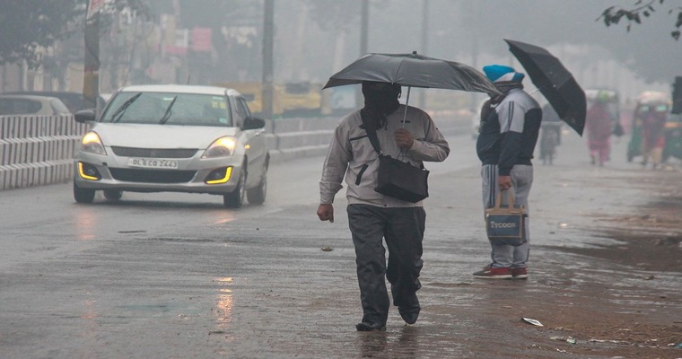
Image Credit: india.com


