At present, preMonsoon rain in East Uttar Pradesh deficient by 53%, whereas rainfall in West Uttar Pradesh is deficient by 33%. This is due to Western Disturbances that induce Cyclonic Circulations in the northern plains, which travel up to West Uttar Pradesh confining pre-Monsoon activities to the region itself. Hence, rains are more in West Uttar Pradesh in comparison to East Uttar Pradesh.
On the other hand, its adjoining state Bihar is surplus by 13%. The main contributor Cyclone Fani after making landfall over Odisha travelled towards West Bengal and gave heavy rains over eastern parts of Bihar. Moreover, the remnants of Western Disturbance that travels along the foothills towards northeast gives some rain over the foothills of East Bihar. Araria, Katihar, Purnia, Supaul and Bhagalpur will observe these activities. A Cyclonic Circulation is currently over East Bihar and a trough is extending up to the southern peninsula.
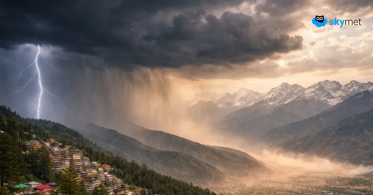
Therefore, light scattered rains are expected over the foothills and eastern parts of Bihar during next two to three days with less intensity. Chances of lightning strikes during the pre-Monsoon season is less due to the absence of convective clouds. While, on the other hand, successive Western Disturbances are expected to continue throughout the week over Western Himalayas that would induce Cyclonic Circulation over the northern plains. Also, a trough would extend up to West Uttar Pradesh leading to dust storm and thundershower activities over West and Central Uttar Pradesh for next three to four days. Places likeMeerut,Bareilly, Saharanpur, Hardoi, Bulandshahar and Moradabad would be affected.
Once again, the intensity would be less, and these pre-Monsoon activities will be in patches that would last for short duration. As the weather system begins travelling towards East Uttar Pradesh, it would start loosing its moisture content. Hence, isolated light rains over East Uttar Pradesh would be a sight. Thus, we can say that intermittent rain and thundershowers would continue over Uttar Pradesh and Bihar for next 3-4 days.
Image Credit: The News Now
Please Note: Any information picked from here must be attributed to skymetweather.com