Monsoon trough is oscillating, shifting north-south of its normal position. On the surface level weather chart, its western end is slightly south of its normal position. However, the eastern half of the trough has already shifted close to the foothills. Accordingly, the ‘ break monsoon’ condition remains partial . The western end of the monsoon trough is also likely to shift close to the foothill in the next 24hr and complete ‘break’ conditions are likely to be complied with soon. The monsoon trough is already placed close to the foothills in entirety in the upper levels of atmosphere commencing 3000’ and above.
This is the 2nd time in this month for monsoon to observe ‘break’ conditions. A prolonged break earlier in the 1st fortnight has already corrupt the monsoon rains over many parts of the country. Predominantly, Gujarat, Rajasthan, Punjab and Odisha have been impacted largely during this phase. Bihar, Jharkhand and West Bengal have been the beneficiary of this to receive moderate rains on most days. Despite rains over east and northeast India, the rainfall deficiency has risen to 9% and possibly will reach 10% in the next 48hr. This August is heading for one of the worst hit monsoon month and can draw parallel with August 2009, a severe drought year. August 2021, at best will end with a rainfall deficiency of 20%. Alarming failure of a core monsoon month like August has serious consequences and adversely impacts the seasonal performance.
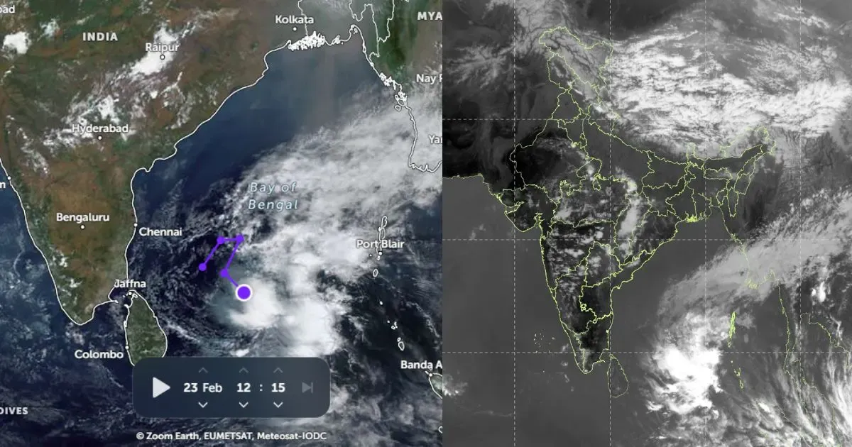
Unlike the previous extended break, the current one is going to be short lived. A cyclonic circulation is expected to form over Northwest Bay of Bengal on 27thAugust. This feature will pull the eastern end of monsoon trough southward and thereafter lead to cessation of ‘break monsoon’ conditions. This cyclonic circulation will become organized and may turn in to a low pressure area before moving inland on 30thAugust. The weather system will revive the monsoon activity around the weekend and later take the monsoon rains deep inland covering eastern, central and northern parts of the country.