Down South, Kerala has been witnessing light rain and thundershowers with one or two moderate spells over scattered places since last few days. However, famous heavy to extremely heavy rainy episodes have been missing this season. This resulted in large rain deficiency which at present stands at 55%.
North Interior Karnataka and South Interior Karnataka are also on the same track with rain deficiency to teh tune of 42% and 22%, respectively. On the other hand, Coastal Karnataka is large deficient by 69%.
Rain activities remained confined to South Interior Karnataka including Bengaluru, hence deficiency is less over the same.
According to Skymet Weather, a semi-permanent weather feature, i.e. the north-south trough is seen extending from Central India to Comorin area across South Interior Karnataka and Tamil Nadu. This system has given intermittent rains over South Interior Karnataka and Kerala. Also, in past 24 hours, rain intensity increased over Karnataka and Kerala. The experts have to say that scattered rains are expected to continue in Kerala for next two days. Whereas, isolated heavy spells of rain can be a sight in South Interior Karnataka as well. Further,light rains are expected to show up in parts of Coastal Karnataka with isolated spells in North Interior Karnatakaduring next two days.
Also Read: Anti Cyclone in Arabian Sea, the reason behind the sluggish advancement of Monsoon 2019
Since heavy to very heavy rains will not be a sight over Kerala, we do not expect much help from these on and off in bringing down the deficiency levels.
As per weathermen, rains of varying intensity would continue till the onset of Monsoon 2019. The normal date for onset of Southwest Monsoon is June 1, which is just around the corner. Skymet Weather has already predicted that onset of Monsoon 2019 on June 4, with an error margin of +/- 2 days.
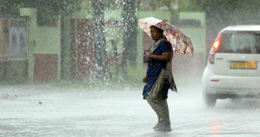
Image Credit: The Weather Channel
Please Note: Any information picked from here must be attributed to skymetweather.com


