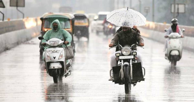
East and Central India witnessed unseasonal weather activities during the months of December and January. Parts of Rajasthan, Madhya Pradesh, Chhattisgarh, Vidarbha and Bihar witnessed hailstorm activities which resulted in crop damage.
Several Western disturbances, induced cyclonic circulation as well as Confluence zone over central and eastern part of the country were the main parameters for these unseasonal rain, thunderstorms and hailstorm.
The Confluence zone which developed due to the merging of south westerly winds from Arabian sea and South easterly winds Bengal has shifted to East. Ongoing rain activities over East Madhya Pradesh, Chhattisgarh, Jharkhand and Bihar will now stop. However, light to moderate rain is expected to continue over Gangetic West Bengal, parts of Odisha and northeast India for another 24 hours. Thereafter weather is expected to go dry.
Scattered rain associated with cloud cover have a resulted in increasing minimum temperature of Madhya Pradesh, Chhattisgarh, and East India. That is the reason, cold wave conditions have abated from Madhya Pradesh. Despite dry weather and clear skies, cold wave will not make a comeback over Central India. As a series of western disturbances is about to approach Western Himalayas which will not allow dry and cold northerly winds to penetrate up to Centre parts of the country.


