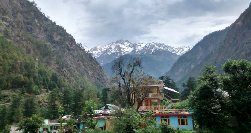
Scattered light to moderaterain and snow has been experienced over many parts of Jammu and Kashmiras well as isolated parts of Himachal Pradesh and Ladakh during the last 24 hours. However, the weather of Uttarakhand remained almost dry. Now, this Western Disturbance will increase the rain activities over all the hilly regions of Western Himalayas until the next 24 hours.
Tomorrow the rain and thundershower activities will start reducing over Jammu and Kashmir. However, scattered rain and snow will continue to be experienced over Uttarakhand on November 23 as well. Clear weather is expected on November 24 and 25. Another Western Disturbance will approach Western Himalayas soon.
Fairly widespread rain and snow is expected over the state on November 26 and 27. This Western Disturbance will ill induce a Cyclonic Circulation over the Northern Plains. Its impact will be felt in the Northern Plains in the form of rain and thundershower activities. Isolated hailstorm activities cannot be ruled out at a few places. So, one after the other Western Disturbance will keep approaching the Western Himalayas leading to good rain and snowfall activities. By November 27, the Western Disturbance would have moved away and the weather will start clearing up. Minimum temperatures will fall significantly afterward due to the blowing northerly winds over Northwest plains as well as the Himalayas. Winter chill will grip most parts of North India.
The month of November is turning out to be very good in terms of rain and snow for Western Himalayas. This will be the third active Western Disturbance affecting the region. By the end of November, a total of four active Western Disturbances would have affected the region. This weather is sure to bring in hinderances in travel and tourism over the region. There are also chances of mudslides and landslides.
Image Credit: India Today
Please Note: Any information picked from here must be attributed to skymetweather.com


