
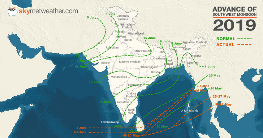
Slowly and steadily,Southwest Monsoon 2019is inching closer to make onset over Kerala. Initial indications have already started developing in Arabian Sea. All thanks to the formation of a cyclonic circulation over Southeast Arabian Sea and adjoining areas of Lakshadweep Islands.
In fact, Monsoon surge has advanced further on Wednesday and covered parts of Sri Lanka. At present, the Northern Limit of Monsoon (NLM) is running through Latitude 7°N/Longitude 60°E, Latitude 7°N/Longitude 70°E, Katunayake, Latitude 11°N/Longitude 87°E, Latitude 13°N/Longitude 89°E and Latitude 17°N/Long. 95°E.
As reiterated by Skymet Weather, there are primarily three criteria which are required to be fulfilled before declaring the onset ofMonsoon. These areOutgoing Longwave Radiation(OLR), wind field and rainfall.
Now, the good news is that out of these three, two criteria have been finally met. As on June 4, the OLR values are settling well below the threshold value of 200 wm^2 in the area between Latitude 5-10°N and Longitude 70-75°E.

Another criterion of wind field is already aligning both in terms of field as well as speed. The winds have already become westerly and are blowing at the speed of 30 kmph in the area defined by Latitude 5-10°N and Longitude 70-80°E, which is the required speed. In fact, in wake of cross equatorial flow strengthening further on account of likely low pressure area in Arabian Sea, winds speed would also pick up pace.
Meanwhile, the depth of westerlies is also around required height of 600 hpa in the area bounded by Latitude 10°N and Longitude 55-80°E.
The only criterion to now met is the rainfall, wherein 60% of the enlisted 14 stations in Kerala, Lakshadweep Islands and Coastal Karnataka must record rainfall for two consecutive days to the tune of 2.5 mm each.
As per weathermen, we can expect a low pressure area in Southeast Arabian Sea during the next 24 hours. It would be travelling in close proximity of the West Coast, which would finally increase thereafter.
Skymet Weather has already predicted onset ofMonsoonto be likely around June 7, with an error -margin of +/- 2 days. Looking at the weather conditions, Monsoon surge is likely to hit Kerala during the next 48-72 hours.
Image Credit: NDTV
Any information taken from here should be credited to skymetweather.com


