Uttar Pradesh continues to be one of the most deficit rainfall pockets, along with contiguous sub divisions of Bihar, Jharkhand and West Bengal. Even the rainiest July has not rescued the state from the clutches of drought like conditions. East Uttar Pradesh has taken a bigger blow as compared to the marginally better West Uttar Pradesh.
Some of the districts in East Uttar Pradesh like Jaunpur, Farrukhabad, Ballia, Amethi, Khushinagar, Kaushambi and Kanpur Dehat have witnessed large deficit, in excess of 60% rainfall. First, late arrival of monsoon and then corrupt temporal and spatial distribution left the farmer in a lurch.
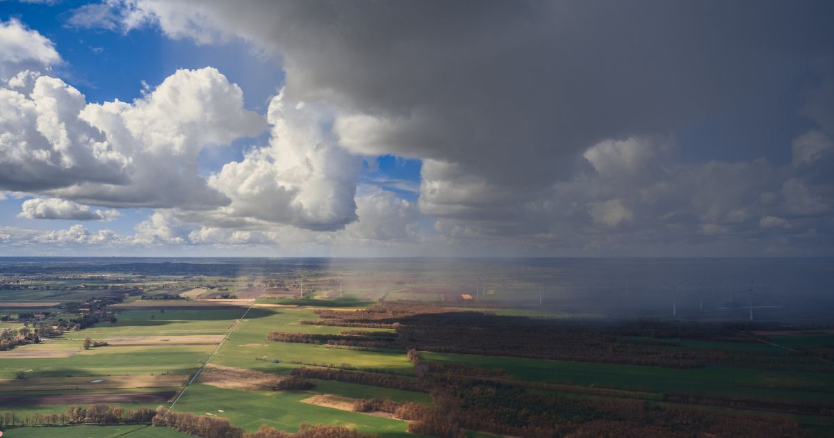
The loitering monsoon over the state has literally tested the resolve and patience of the farmer and has now gone beyond the acceptable limits. Irony is that, still there is no silver lining even over the horizon to strike any conciliatory note in the next one week or 10 days.
Western end of the monsoon trough has shifted north of its normal position and will hold good for the next 3 days. The far end of the trough is running normal and keeps sufficient distance from the eastern half of the state.
West Uttar Pradesh is likely to witness scattered moderate showers over the next 3 days. Saharanpur, Bijnor, Muzaffarpur, Meerut, Moradabad, Hapur, Rampur, Bareilly, Pilibhit, Badaun, Shahjahanpur and Lakhimpur Kheri are expected to have intermittent short duration showers. Spread and intensity over the eastern half will be relatively mild. Very light rainfall is expected over Azamgarh, Ghazipur, Ballia, Jaunpur and Varanasi.
Monsoon circulation or low pressure area is likely to form over the Bay of Bengal on 05th or 06thAug. This system will move across Odisha, Chhattisgarh and Madhya Pradesh. This will be closely followed by yet another low, more stronger than the previous one, but tracking the same route.
Both these systems will keep the monsoon trough south of its normal position between 06th and 12th Aug. Whatever little showers the state gets over the next 3 days will reduce further during this period. There is a chance for the trough to shift northward again across Indo Gangetic plains. Uttar Pradesh will have to wait for more showers after 13thAug.