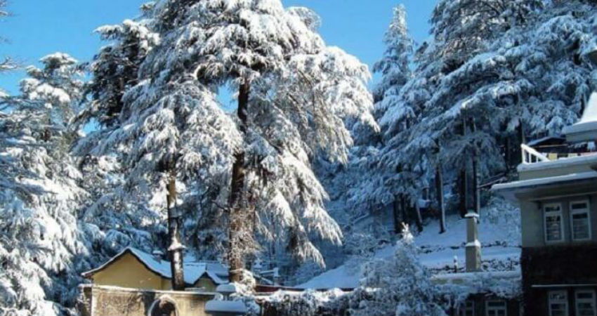
A fresh Western Disturbance has once again approached the Western Himalayas. Thus, we expect isolated light rains to commence over Jammu and Kashmir by today evening or night. Thereafter, the intensity and spread of these weather activities will only increase. In fact, another Western Disturbance will follow which will only increase these weather activities.
Thus, starting January 1, fairly widespread rain as well as snowfall activities will be seen over Jammu and Kashmir, Ladakh, Himachal Pradesh and many parts of Uttarakhand. Few heavy spells are also expected.
In the wake of these weather conditions, plains of North India will also start witnessing rains and thundershowers starting tomorrow.
This upcoming episode will be one of the most prolonged spells of rain and snow over the Western Himalayan region and will continue until January 8. The first system will approach today and will continue until January 4. The second disturbance will approach around January 6 and will continue with its effect up till January 8.
These weather activities will bring in rain and snow to Srinagar, Pahalgam, Gulmarg, Patnitop, Manali, Shimla, Lahaul Spiti, Mussoorie, Nainital, Chamoli. While such snow is a treat to the eyes, tourists need to stay cautious as these activities may result in blockage of roads and may even result in snow slides in many areas.
Thus, if a long travel plan is in the offing for you during this time, we would advise you to take all precautions, as the longest spell of rain and snow is just around the corner.
Image Credit: TravelTriangle
Please Note: Any information picked from here must be attributed to skymetweather.com


