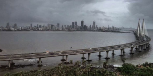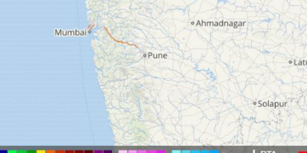
Mumbaikars are relieved from the heavy flooding rains that had caused chaos in the city of dreams during the fag end of August. The month of September came with a huge relief in sight when the rains reduced considerably with only light rains showing up in the state capital. Though, from the last 4-5 days, the weather over parts of the city has become almost dry.
However, the last 24 hours brought some rains with itself for the parts of Mumbai wherein the Colaba Observatory recorded 11 mm of rains. However, the Santacruz Observatory had to manage with traces of rains only.
[yuzo_related]
As per Skymet Weather, the offshore trough running along the West Coast is at present feeble in nature and thus, the city along with other regions lying in the West coastal belt of the country was recording light rains only.
Click above to see the live lightning and thunderstorm across Mumbai
Skymet Weather reiterates that now a cyclonic circulation has also developed over southwest Madhya Pradesh and a trough is extending from this system to Kerala across Madhya Maharashtra. As this trough is passing in the close vicinity of Mumbai, therefore the city of dreams can brace for some light scattered rains for the next 24 hours.
Thereafter, the offshore trough running from South Gujarat to coastal Karnataka is likely to become active once again which will aid in increasing the rain intensity over Mumbai and on September 13 through 14, a few moderate spells over Mumbai can be expected.
Image Credit: huffingtonpost
Any information taken from here should be credited to skymetweather.com


