All three hilly states of India, except that of Jammu and Kashmir, are running rain deficient at present. Althoughisolated heavy spells are going on over Jammu Kashmir, Himachal Pradesh and Uttarakhandsince the last few days.
The recent examples of heavy downpour are the veryheavy spells of Katra in Jammu and Kashmir, and that of Una in Himachal Pradesh. Both the places have recorded enormously heavy rains which even led to landslides at many places.
While the city of Una received a whopping 226 mm rains yesterday, just a day before yesterday Katra had recorded 292 mm of rains. These heavy downpours can be considered as the recent examples of cloudburst.
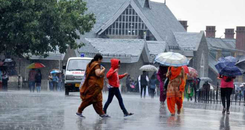
At the same time other hilly cities like that of Shimla recorded rains to the tune of 25 mm rains yesterday, Manali recorded 14 mm, Jammu 25 mm, Qazigund 10 mm, Bhuntar 16 mm, Mukteshwar 17 mm and Dehradun recorded 65 mm rains.
Now, also we expect moderate rains with one or two heavy spells to continue over Himachal Pradesh and Uttarakhand as well as over southern districts of Jammu and Kashmir. The rain intensity may increase further on August 5 and 6.
During the next three to four days, isolated chances of cloudbursts also cannot be ruled out as formation of convective clouds is expected.
Cloud bursts occur whenever convective clouds form in the hilly regions, clubbed with the light upper winds ceasing to move, giving heavy downpour over a small area. In hilly regions whenever there is a heavy downpour, the water gushes to the slopes. The accumulation of this water takes the shape of a stream or a small river which comes down washing away whatever comes in its way whether it is small shops, huts or houses.
Traveling to hilly states of Western Himalayas becomes a risky task during the Monsoon period. Particularly the rainiest months of July and August see widespread landslides and occurrence of flash floods.
Image Credits– The Tribune
Any information taken from here should be credited to Skymet Weather


