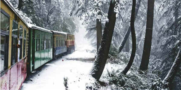
 This winters, rain, and snow had remained far and few for the hilly states of Jammu and Kashmir, Himachal Pradesh and Uttarakhand. However, post-January 22, all these states have been recording rain and snow of varying intensity.
In fact, we feel that this spell of rain and snow is going to be a prolonged one. According to Skymet Weather, the recent Western Disturbance has moved away eastwards. Now, we are expecting two back to back Western Disturbances to affect Jammu and Kashmir. Not only this, they would be active in nature as well.
[yuzo_related]
At present, a Western Disturbance is seen moving over North Pakistan and adjoining areas and is soon likely to start affecting Jammu and Kashmir by tonight. With this, rain and snow would commence over Jammu and Kashmir by late night today.
Gradually, by tomorrow morning, Himachal Pradesh would also start recording rain and snow at many places. However, intensity and spread of rain and snow would be less over Uttarakhand as compared to other states.
The weather activity is most likely to peak on the night of January 29 and January 30. The activity would reduce marginally by January 31. Also by then, successive Western Disturbance would also start affecting the region. As a result, the intensity of rain and snow would increase on February 1. But since the latter system would be a fast moving one, the weather over the hills of North India would clear up by February 2.
Famous hill stations likeSrinagar, Gulmarg, Pahalgam,Manali,Shimla, Nainital,Mussoorie, Dalhousie, and Dhanaulti would see some good spells of rainfall.
Click the image below to see the live lightning and thunderstorm across Hills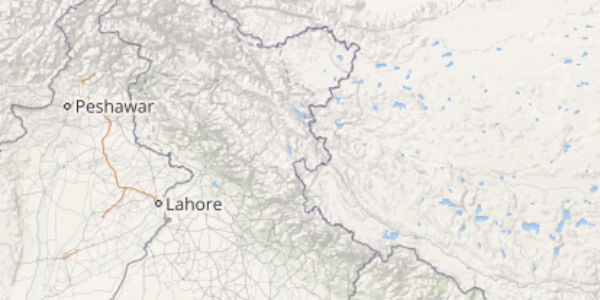
As per weathermen, chilly winds would blow across the region during the next 3-4 days. With this, day temperatures would now fall over Jammu and Kashmir, Himachal Pradesh and Uttarakhand. Though minimums would rise initially during the next 24 hours, but they would also start falling thereafter.
The effect of these activities will also be observed by northern plains of the country. Icy cold northeasterly winds would now get cut off, leading to rise in minimum temperatures. But unlike last week, we do not expect any rain or thundershowers over the plains this time.
IMAGE CREDIT: Traveltriangle.com
Any information taken from here should be credited to skymetweather.com


