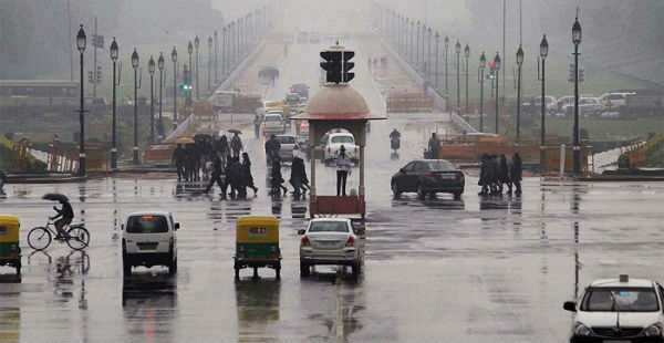
Yesterday, several parts of Delhi and NCR region witnessed good spell of pre-Monsoon showers. Few places also observed heavy rains of short duration with squally winds.
In a span of 24 hours from 08:30 am on Wednesday, Safdarjung Observatory recorded 11.8 mm of rainfall, while Palam Observatory witnessed 8.2 mm of rains.
As per Skymet Weather, these rain and thundershowers over the national capital can be attributed to the presence of a cyclonic circulation persisting over Northwest Rajasthan and adjoining Pakistan. Also, a trough is extending south of Delhi. Besides this, the moisture feed is also available due to the flow of easterly winds over the region.
With these rains, the mercury that had crossed 45 degree mark, leading to hot and scintillating weather, is now hovering around 35-degree mark.
Therefore, day will continue to be pleasant with spell of rain and thundershowers today afternoon as well. From tomorrow, we can expect change in wind direction that will be blowing from northwest. In wake of this, weather will go dry and temperatures will once again start increasing.
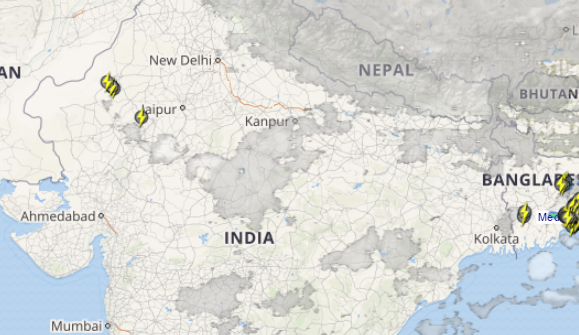
Click the image above to see the live lightning and thunderstorm across Delhi and NCR
However, another spell of rain is expected around June 7 and it is likely continue for another 2 to 3 days. During this time, showers are expected to occur during early morning or late afternoon hours. Temperatures are also expected to drop significantly.
Image Credit: youtube
Any information taken from here should be credited to skymetweather.com


