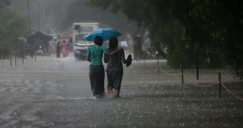
Monsoon 2019continues to be vigorous overMadhya Pradesh, bringing widespread heavy to extremely heavy rains over the entire state. All thanks to the persistent low pressure area, which has been travelling through and through Madhya Pradesh.
Jabalpur has recorded whopping 200 mm of rains in span of 24 hours from 8:30 on Wednesday, Guna 122 mm, Shajapur 106 mm, Pachmarhi 99 mm, Satna 96 mm, Tikamgarh 81 mm, Sagar 79 mm,Bhopal67 mm, Jhansi 59 mm, Nowgong 59 mm, Raisen 56 mm, Hoshangabad 55 mm, Ujjain 42 mm, andIndore42 mm.
Rains have not been over yet, as we expect more heavy rains to batter parts of Madhya Pradesh on August 15 as well. The low pressure area has moved further west and is now marked over North Madhya Pradesh and adjoining areas of Central Uttar Pradesh. With westward movement, rains would now reduce significantly over East Madhya Pradesh but West Madhya Pradesh would continue with heavy rains.
Moreover, the system has kept the Monsoon trough south of its position and is also travelling via Gwalior and center of low pressure area.
Hence, places like Gwalior, Indore, Neemuch, Ujjain, Bhopal, Ratlam, Guna, Shivpuri and Shajapur are likley to record moderate to heavy rains, with few intense spells. Meanwhile, Siddhi, Rewa, Satna, Jabalpur, Uamaria, Damoh and Mandla would see moderate spells on account of abundant moisture in the atmosphere.
By August 16, low pressure area would shift further west, with this light to moderate rains with few intense spell over West Madhya Pradesh. But, weather over eastern region would go dry.
Weather would go completely dry over Madhya Pradesh by August 17, leading to increase in mercury. Warm and humid weather would make a comeback.
Image Credit: NDTV
Any information taken from here should be credited to skymetweather.com


