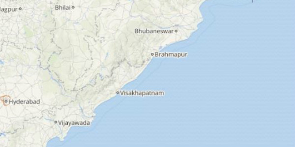
August was a bonus month for parts of both Odisha and Andhra Pradesh that had seen a lean rainy period in the month of July. Though the intensity of rains varied in parts of the state. The interior regions of both Andhra Pradesh and Odisha were better in terms of rains while mainly light spells were observed by the coastal areas.
However, the weather pattern took a U-turn and heavy rains that were not seen by most districts of Andhra Pradesh and Odisha from almost a week, finally arrived. Though the intensity of rains was more in Odisha that had recorded some three-digit rains as in contrast with that in Andhra Pradesh.
Within the span of the last 24 hours from 08:30 am on Thursday, Paradip recorded extremely heavy rains to the tune of 101 mm, Bhawanipatna 70 mm, Titlagarh 58 mm, Bhubaneswar 42 mm, Angul 32 mm and Cuttack recorded 21 mm of rains.
[yuzo_related]
During the similar time frame, Bapatla recorded 14 mm of rains, Narsapur 11 mm, Kalingapatnam 9 mm, Machilipatnam 5 mm, and Vishakhapatnam witnessed 4 mm of rains.
As per Skymet Weather, a cyclonic circulation is seen over North Bay of Bengal and adjoining Odisha. On account of this weather system, heavy to extremely heavy rains in Odisha while light to moderate spells occurred in Andhra Pradesh.
Click above to see the live lightning and thunderstorm across Odisha and Andhra Pradesh
As of now, moderate to heavy rains are likely to continue in coastal Odisha and Andhra Pradesh for another 24 hours. Thereafter, by August 20, the rain belt will gradually move in the west direction towards Telangana thereby reducing the intensity of these rains over both the states.
Image Credit: IBTimes
Any information taken from here should be credited to skymetweather.com


