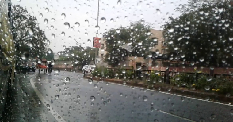
Monsoon trough is running close to the foothills. For the 5th consecutive day, east-west oriented feature is holding well north of its normal position, all along its stretch. Accordingly, monsoon activity has slowed down over North, Central and East India. Seasonal Monsoon surplus rainfall of 9% during last week has consistently been dropping and now stays at 106% of LPA (Long Period Average). It may fall further for the next few days before recovering sometimes next week.
Monsoon trough and the western disturbance, in tandem, are ideal for continuation of monsoon activity over North India. In the absence of these features, very limited weather activity is expected over the next 3 days. Western disturbance is likely to arrive on 03rdSep and scattered light to moderate rainfall is expected over northern parts of Punjab and Haryana and low and medium height hills of Uttrakhand , Himachal Pradesh and Jammu &Kashmir between 03rd and 06thSeptember. Delhi is also likely to break the jinx of dry weather during this period.
In view of fresh likely development over Bay of Bengal at the start of next week, the eastern end of the monsoon trough will shift southward. Subsequently, the western end also will be dragged and the whole system will be drawn well south of the normal position by 07thSeptember. The weather conditions will once again change over Uttar Pradesh, Madhya Pradesh, Punjab, Haryana and Rajasthan. The central parts of the country will also have a renewed wet spell, possibly lasting for 2-3days. Reversal in the wind pattern, back to easterly, along the Indo Gangetic plains and most parts of North India is quite likely.


