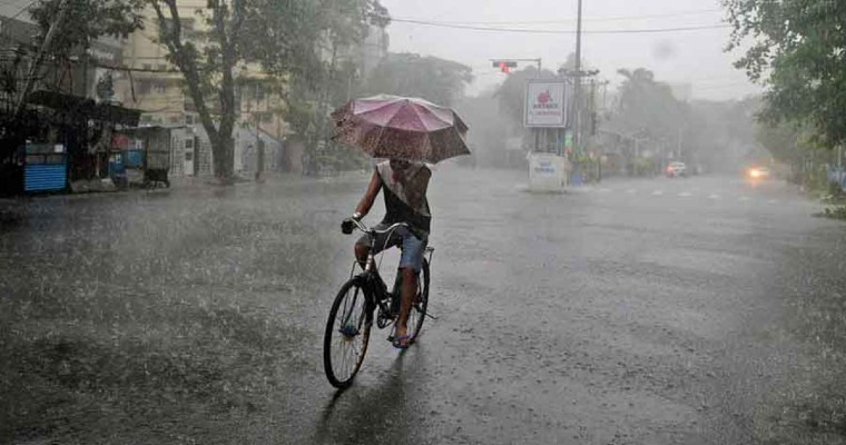
Break monsoon like conditions were prevailing over Northwest India and adjoining parts of Central India since last 3 to 4 days. Western end of axis of monsoon trough was in the foothills of Himalayas. A low-pressure area has formed over northwest and adjoining West Central Bay of Bengal.
The system will move in a westerly direction towards Vidarbha across coastal Andhra Pradesh and South Chhattisgarh. Western end of axis of monsoon trough will also be pulled down to south leading to revival of monsoon rain over Punjab, Haryana, Delhi, and most parts of Madhya Pradesh.
Low pressure will get weakened by August 31 over Madhya Pradesh and will be seen as a cyclonic circulation. Rain may commence over Western districts of Madhya Pradesh, East and south Rajasthan and parts of Gujarat by then. On and off rain may occur over east and South Rajasthan and many parts of Gujarat between September 1 and 3.
Ujjain, Ratlam, Neemuch, Dhar, Khandwa, Khargone, Bhopal, Indore, Barwani, Guna and Shajapur district of Madhya Pradesh may witness reviaval of rain. Similarly, Sawai Madhopur, Bundi, Kota, Jhalawar, Chittorgarh, Pratapgarh, Banswara, Dungarpur, Udaipur, Rajsamand, Pali, Jalore, Barmer, Jodhpur and Sirohi districts of Rajasthan may also receive rain activities. Districts of Gujarat are also expected to witness monsoon rain during this period.


