
The Western coastal regions of Kerala and Karnataka have seen a period of good Monsoon rains during the Southwest Monsoon in the month of September. Sparing a day or two, the month has proved to be a rainy one for both the regions.
Though comparatively, rains over coastal Karnataka in the last 48 hours were more than rains over the coastal regions of Kerala. Goa has also managed to record some good rains this entire month with a reduction in rains from the last 48 hours.
Within the span of 24 hours from 08:30 am on Monday,Karwarrecorded good rains of 26.6 mm, Mangaluru 17.4 mm,Honnavar13.5 mm, Alappuzha 9 mm,Kochi7 mm and Agumbe witnessed 2.8 mm of light spells.
[yuzo_related]
The reason for these rains can be attributed with the active offshore trough which is running from South Konkan coast to coastal Karnataka.
As per Skymet Weather, a trough is extending from southwest Bay of Bengal to the southwest Arabian Sea across South Interior Karnataka. In the wake of this, moderate to heavy showers are expected to occur over coastal Karnataka and some parts of South Konkan & Goa for the next 24 hours.
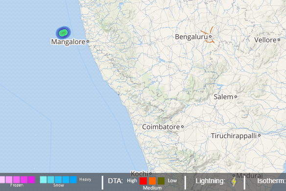
Click to see live lightning and thunderstorm across West Coast
Goa may also receive moderate showers for at least next 2 days. However, the intensity of rains will be subdued over Kerala with only a few light showers along with isolated moderate spells for the next 2-3 days.
After 2 days, the intensity of rains will start reducing over coastal Karnataka but Konkan & Goa will continue with increased intensity of rains. Overall, good rains are expected over coastal Karnataka and parts of Konkan & Goa while subdued over Kerala.
ImageCredit: wikipedia
Any information taken from here should be credited to skymetweather.com


