At present, a cyclonic circulation is seen over Bangladesh and its adjoining areas. And a trough is extending from this circulation up to coastal Odisha. Moreover, an east-west trough is also extending from Punjab to Bangladesh across Gangetic West Bengal.
Due to these weather systems, thundery clouds have developed over Gangetic West Bengal and adjoining parts of Jharkhand. Places like Bankura, Midnapore, Ranchi and Jamshedpur may receive few spells of rain and thundershower activities.
These weather activities may also be accompanied by lightning strikes. Wind speed may reach up to 50 to 60 kmph gusting to 70 kmph in few pockets of the state.
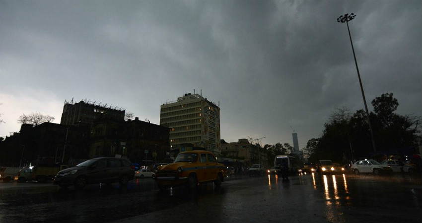
Talking about the capital city – Kolkata may also witness isolated thunderstorms and thundershower activities today evening or late at night.
Southwest Monsoon is delayed by more than a week in West Bengal but we expect Monsoon to reach Sub-Himalayan West Bengal in the coming two to three days.
The Northern Limit of Monsoon (NLM) is presently passing through Latitude 13°N/Longitude 60°E, Latitude 13°N/Longitude 70°E, Mangalore, Mysore, Salem, Cuddalore, Latitude 14°N/Longitude 86°E, Latitude 20°N/Longitude 90°E, Agartala, Lumding, Passighat and Latitude 29°N/Longitude 97°E.
Image Credit: Wikipedia
Please Note: Any information picked from here must be attributed to skymetweather.com


