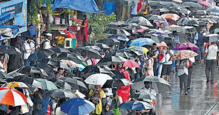
Subdued monsoon conditions are being witnessed over most parts of the country including Central India. However, parts of East India have been receiving some decent showers for the last few days. A cyclonic circulation is over South Bangladesh and adjoining parts of the northwest Bay of Bengal. A low-pressure area is likely to form over the Northwest Bay of Bengal around August 17 or 18. This system will move gradually in the West Northwest direction. Rain activities are expected to increase over West Bengal, Jharkhand, Bihar, Uttar Pradesh, Odisha, Chhattisgarh, and many parts of Madhya Pradesh including Vidarbha between August 17 and 21.
Monsoon is expected to become active in these states from August 17 onwards. However, western parts of the country such as Rajasthan, Gujarat, and Northwest India like Punjab, Haryana, and Delhi will witness subdued or weak monsoon conditions.
East Uttar Pradesh, east Madhya Pradesh, and Chhattisgarh as well as the foothills of Bihar may witness isolated heavy downpours. Monsoon rain is not catching up with the daily average since the beginning of August. It seems that monsoon rain will be near normal from August 17 to August 23rd or 24. Therefore the downtrend of monsoon rain will be arrested during that period. The impact of El Nino is more prominent now. We think that monsoon will end with below normal rainfall anywhere between 91 and 94%.


