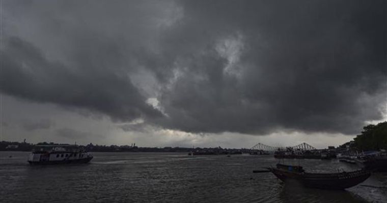
The southwest monsoon reaches its last leg over West Rajasthan by mid-September. Earlier, the scheduled withdrawal date from West Rajasthan was 01st September. Based on data from 1971 to 2019, the withdrawal dates were revised in 2020. The withdrawal dates were delayed from most parts of the country by 7-14 days. As per the new dates, the monsoon commences withdrawal from West Rajasthan by 17 September. There is no correlation of the start of the retreat from West Rajasthan with the subsequent withdrawal from other parts of the country.
The monsoon withdrawal is generally getting delayed. As observed in the last seven years, since 2017, the earliest withdrawal on 20th September happened in 2022. The latest withdrawal during this period was on 06th October, in 2021. Last year, the withdrawal commenced on 25th September at a slower pace and the current retreated from Delhi in the first week of October against its normal date of 25th September. Last year, the monsoon withdrawal from the country was complete by 19 October and it nearly coincided with the arrival of the Northeast Monsoon over the South Peninsula.
The southwest monsoon withdrawal from West Rajasthan is not attempted before 01st September. After this date, subject to the fulfilment of certain meteorological conditions, the withdrawal is announced. These conditions are :
- Cessation of rainfall activity in the area for 5 consecutive days
- Establishment of anticyclone in lower tropospheric levels at 5000’ and below
- Reduction in moisture as inferred from the satellite vapour imageries
Additionally, the guidelines for the meteorologist include more broad features, mostly in the upper tropospheric levels. Actually, the lower-level changes as mentioned above, flow from these changes in the broad synoptic features. These features are :
- The Tibetan anticyclone, which remains marked during the active phase of the southwest monsoon, starts getting diffused
- The latitudinal extent of easterly winds decreases over the Indian Sub-Continent in the upper troposphere
- The strength of the easterly jet drops over Peninsular India
- Sub-tropical westerly jet starts appearing over North India
- Sub-Tropical Ridge Strengthens over North India
The Tibetan anticyclone is getting diffused and also shifting over Northeast India. The westerly core has started strengthening over North India. The anticyclonic pattern is getting marked over West Rajasthan and adjoining the Central Pakistan region. Dry northwesterly winds have made their presence over West Rajasthan and these will reduce the moisture levels. Also, there is hardly any rains over the border posts of Jaisalmer, Barmer, Phalodi and Bikaner for the last few days and these are unlikely over the next few days, as well.
Over and above all, the monsoon system over North Madhya Pradesh is unlikely to travel further up to Rajasthan. Rather, the system is showing signs of recurving and is likely to retrace back, eastward over Uttar Pradesh, Chhattisgarh and Bihar. It is likely to get filled up over that region. The track of these systems around the time of withdrawal marks the line of withdrawal and the subsequent systems do not go beyond this boundary line.
Keeping in view the manifested change in the pattern and the path of monsoon depression, the monsoon withdrawal looks evident and on time. Also, monsoon withdrawal does not mean that the particular geographical region will not receive any rains, thereafter. Meteorologically, it may be construed that monsoon is likely to commence retreat, anytime soon.Image Courtesy: Tribune India
