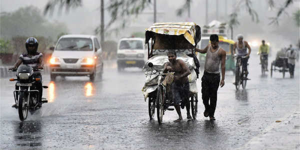
Odisha and Chhattisgarh have been receiving good rains from last few days. In the last 24 hours also, a few districts in Odisha and Chhattisgarh have recorded light to moderate rains. In the last 24 hours from 8.30 am on Friday light to moderate rain was witnessed in Odisha, Keonjhargarh recorded 30.1 mm of rain,Jharsuguda16.3 mm, and Balasore recorded 5.2 mm of light rainy spells.
During the similar time frame, Chhattisgarh too recorded light to moderate rains. Pendra recorded 18.3 mm,Ambikapur6.2 mm and Durg witnessed 6.2 mm of rains.
As per Skymet Weather, the reason for these rains over both the states can be attributed to the axis of Monsoon trough which was moving across Chhattisgarh. Moreover, the low-pressure area was over North of Madhya Pradesh. In the wake of both these weather systems, good rains occurred over Odisha and Chhattisgarh.
However, now, the axis of Monsoon trough is moving across Madhya Pradesh, North Chhattisgarh and then towards North Bay of Bengal and a cyclonic circulation is also likely to build up over Gangetic West Bengal and adjoining Jharkhand. On account of this, rains are expected to reduce over both Odisha and Chhattisgarh after 24 hours.
[yuzo_related]
Skymet Weather further reiterates that the present weather condition is conducive of the prevalence of mainly partly cloudy to cloudy sky. Thus, short spells of rain can be anticipated over both the regions. The northern part of the states may receive few spells of light to moderate rains but after 24 hours the intensity of rains is likely to reduce.
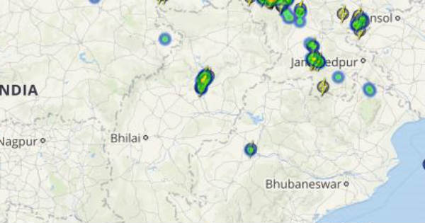
Click the image below to see the live lightning and thunderstorm across Mumbai
As on July 21, both Odisha and Chhattisgarh are rain surplus by 7 percent.
IMAGE CREDIT: financialexpress.com
Any information taken from here should be credited to skymetweather.com