
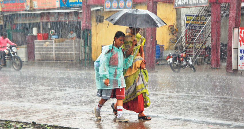
In the last 24 hours, goodMonsoon rain and thundershowers occurred over parts of Madhya Pradeshparticularly the western parts including places likeBhopal, Indore andGuna. Raisen recorded very heavy rain to the tune of 116 mm, followed by Sagar 28 mm, Bhopal 18 mm,Ujjain11 mm and Jabalpur 6 mm.
Now at present, a cyclonic circulation is seen overMadhya Pradesh. Therefore, we expect weather activities to increase over parts of southern and central Madhya Pradesh during the next 24 to 48 hours.
Thereafter,a low-pressure area which has developed over Bay of Bengalwill gradually move westwards leading to increased rain intensity over Madhya Pradesh by July 2. During that time, eastern and southeastern districts of the state will witness heavy to very heavy rainfall activity.
By July 3, many parts of Madhya Pradesh barring a few northern parts will witness good rain and thundershower activities. Places likeMandla, Hoshangabad,Betul, Jabalpur, Seoni,Khandwaand Khargone may receive heavy rains during this period.
These weather activities will continue over most parts ofMadhya Pradeshtill July 4 with varied rains. Thus, we can say that July will commence on a rainy note for the state of Madhya Pradesh. In fact, due to such widespread rains, flash floods may also occur in parts.
Moreover, in the wake of rains, the rainfall deficiency of Madhya Pradesh which currently stands at 46%, might reduce to some level.
Image Credit: Wikipedia
Please Note: Any information picked from here must be attributed to skymetweather.com


