Southwest Monsoon in India was delayed by 5 days. Thereafter, it picked up pace and covered the plains of North India by June 25, which was before schedule. But practically, good rain was observed over the region only on June 24 and June 25. Since then the weather in entire northern plains has been dry.
However, as reiterated by Skymet Meteorology Division in India, good amounts of rain are now being observed inPunjab,Haryana,Delhi-NCR and WestUttar Pradesh. In a span of 24 hours from 8:30 am on Sunday,Chandigarhhas observed 76 mm of rain, while Patiala has recorded 19 mm of rain.
During the same period,Shahjahanpurin West Uttar Pradesh has also witnessed a whopping 101 mm of rain,Moradabad68 mm, Hardoi 67 mm Muzaffarnagar 57 mm,Bareilly54 mm and Meerut 40 mm of rain.
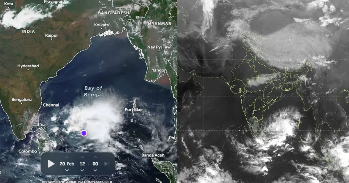
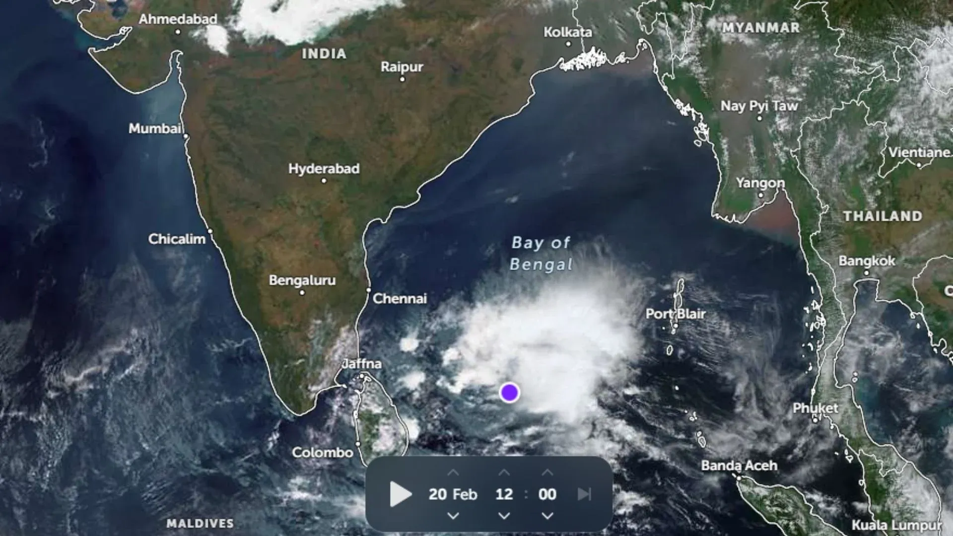
According to Skymet Meteorology Division in India, a Western Disturbance is over North Pakistan and adjoining Jammu and Kashmir region, which has started affecting the plains of North India. There’s also a cyclonic circulation in the Bay of Bengal and a Monsoon Trough is roughly running between these two systems. Very good rain is being observed along the trough line, which at present is running from Ferozepur to Northeast Bay of Bengal acrossKarnal, Bareilly,Kanpur,Bhagalpur, Bankura and Digha.
Gradually this cyclonic circulation will intensify and the easterly winds coming from the system will further enhance rainfall activity over the region. In the process, Punjab, northern parts of Haryana and the foothills of Uttar Pradesh will receive heavy to very heavy rain for next 48 hours. Thereafter, light to moderate rain is expected to continue till July 11.
This spell is expected to narrow down the rainfall deficiency in the region to a large extent. There are high chances of rainfall in most of the areas settling close to normal by the end of this spell.
Image Credit: The Hindu