
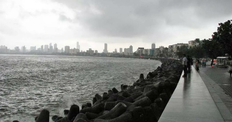
Courtesy of cyclonic circulation over the Konkan region, the southwest monsoon kept the timeline with Mumbai. The monsoon surge arrived a couple of days before the scheduled date of 11th June. The city received heavy showers last night which continued till morning hours. The airport observatory at Santacruz recorded 69mm of rainfall in the past 24 hours and regional station at Colaba registered 53mm of rainfall in the same period.
The cyclonic circulation has shifted to Parts of Madhya Maharashtra and Marathwada. But, it still draws favourable winds along the Konkan coast. There may not be heavy rains for the city now, but moderate showers will continue, with breaks in between, for the next 48 hours. These showers may not disrupt any routine activity. The cyclonic circulation will fizzle out after 48 hours. The intensity and spread of rains will subside along the Konkan coast in general and for Mumbai in particular.
No fresh surge is likely from the Arabian Sea. Therefore, mostly light rains with one odd embedded moderate spell will occur for rest of the week. These conditions may even extend to mid-week next. Santacruz Observatory recorded 89.4mm rainfall in June 2024. The monthly normal is nearly 500 mm for June. The city is known to have typical Mumbai rains, with spells of three-digit rainfall, in June. A strong surge is not likely in the next week or ten days. City may have to wait for the monsoon downpour, anytime after 20th June.
Image Credit: www.mumbailive.com
Track Mumbai Monsoon and Mumbai Rains in real-time, click here.
