The axis of monsoon trough passes through the foothills of the Himalayan range. A low pressure area may form over west central Bay of Bengal and adjoining south Arunachal Pradesh. The associated cyclonic circulation will extend up to the mid tropospheric level.
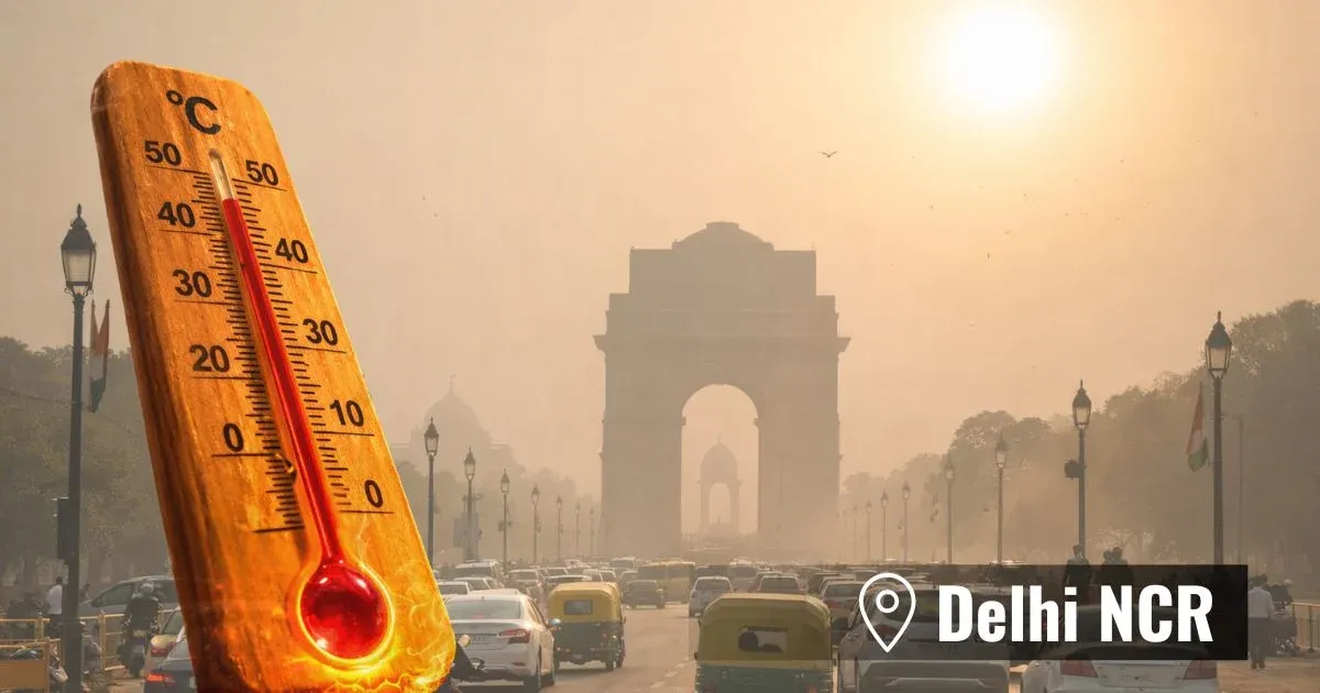
North India will remain mainly dry with chances of light showers, mainly in few parts of Himachal Pradesh and Uttarakhand. South Jammu & Kashmir will also receive light rain bringing down temperatures below normal by 2-3°C. Delhi is expected to receive spot rain. The mercury will continue to be marginally above normal in rest parts of north India.
Rain intensity will keep decreasing over east India, keeping the mercury above normal in Bihar, Jharkhand and parts of North East India. Light scattered rain with one or two moderate spells is expected over sub Himalayan West Bengal and extreme south Gangetic belt of West Bengal. Temperatures will fall below normal by a few notches here.
In central India, Marathwada and south Maharashtra is expected to receive mainly light scattered rain. Temperatures will remain higher than normal average over Orissa and Madhya Pradesh. However, the mercury will drop to normal ranges in coastal Orissa, due to light rain.
Coastal Andhra Pradesh, north Tamil Nadu, Karnataka and parts of Rayalaseema are expected to receive mainly light to moderate showers. The coastal areas of west Karnataka and Kerala may also receive moderate spells. The mercury may drop marginally and reach normal levels in the southern part of the country. It will remain below normal in many parts of south Tamil Nadu, while above normal temperatures will be witnessed in Karnataka, Madhya Maharashtra and Andhra Pradesh.