Southwest Monsoon 2019is knocking the doors and is likely to make onset on June 7 (with an error margin of +/- 2 days). According to weathermen, slowly and gradually, weather conditions are becoming favourable for the arrival of Monsoon.
However, the onset of Monsoon is declared as it meets three pre-defined criteria. This includes wind field and speed,Outgoing Longwave Radiation(OLR) and rainfall in 14 enlisted stations for two consecutive days over 2.5 mm. Most of these parameters are pertaining to the Arabian Sea and neighbourhood.
Out of these, OLR is the most important as well as tricky factor. OLR is a measure of the amount of energy emitted to space by earth's surface, oceans and atmosphere. It is a critical component of the earth's radiation budget.
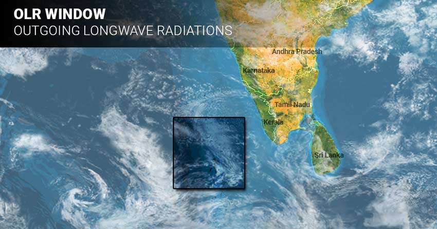
OLR value should be less than 200 wm^2 in the window of Latitude 5-10°N and Longitude 70-75°E.
This is manifested in terms of cloud cover, i.e. thicker the cloud cover, lesser will be the value. This means that cloud cover radiation will not go out. We can say that the parameter is established in terms of Monsoon cloud cover over the designated window with varying spread and thickness.
Also, this feature must be persistent for at least two consecutive days. Along with this, OLR should not be read in isolation and should be in conjunction with other parameters.

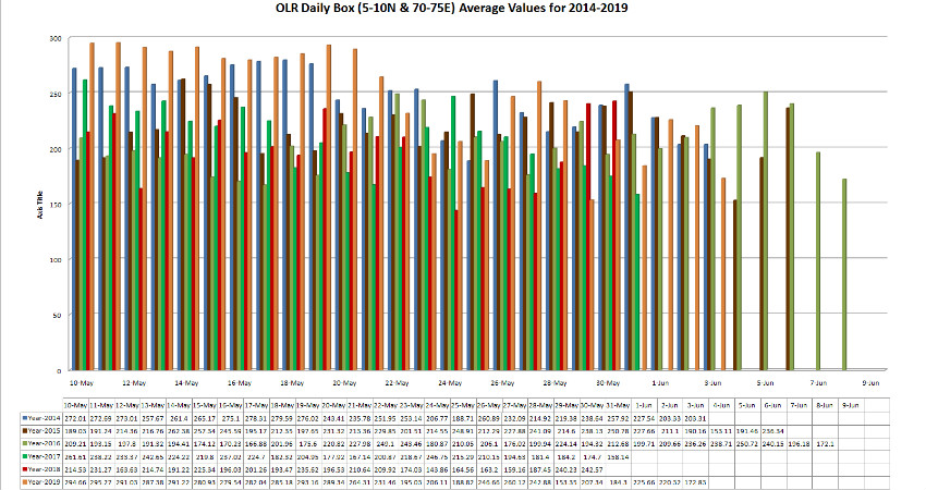
The graph shows that on May 18, 2019,Southwest Monsoon had reachedCar Nicobar wherein the OLR values crossed the mark of 200 wm^2 but the designated window in the Arabian Sea for the onset of Monsoon over Kerala is far away from Car Nicobar.
Coming to June 3, the values are below 200 wm^2. With likelyMonsoon datenearing, we can expect cloud cover to increase and thus, the OLR values are likely to maintain themselves below the threshold value.
Weathermen at Skymet Weather is foreseeing aLow-Pressure Area in the Southeast Arabian Sea. Thus, cloud cover is going to thicken leading to low OLR values. This system would also be responsible for aligning other parameters as well. We could see cyclonic circulation around June 5, which would get more marked by June 6 and 7.
Image Credit: Skymet Weather
Please Note: Any information picked from here must be attributed to skymetweather.com


