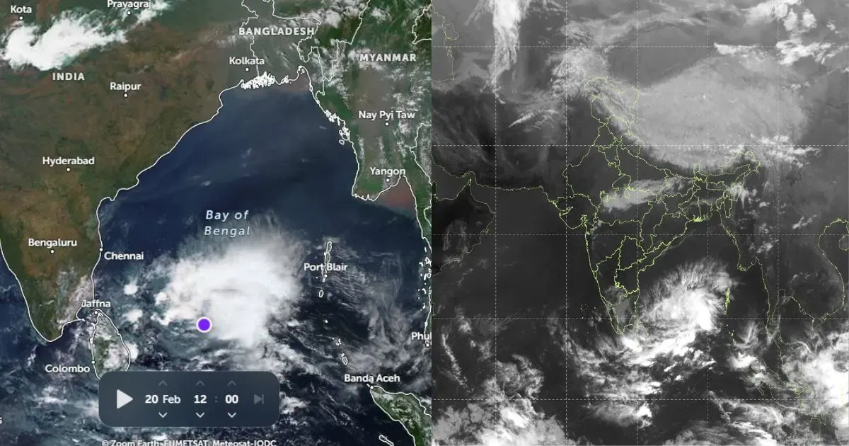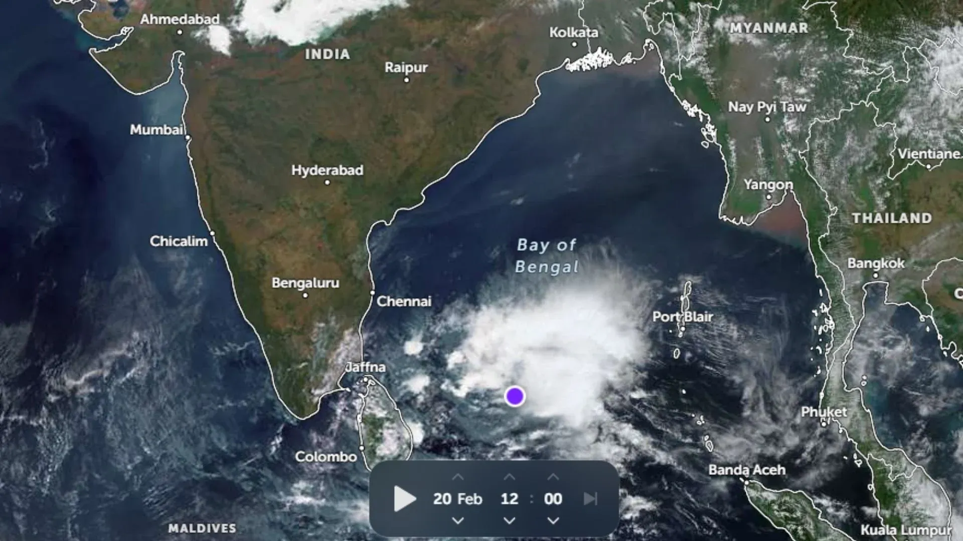
After observing some good rains during the first two weeks of May, rain over Kerala saw a lean phase wherein the rainfall in terms of both spread and intensity dropped. The last six days were no less than a weak chapter for the state.
The reason for the reduction in the rains can be associated with the back to back cyclonic storms that formed in the Southeast Arabian Sea and influenced the wind flow, taking away the moisture content as well.
However, as the cyclones moved away, rains once again revived over the state from May 25 onwards. Meanwhile, the low-pressure area that lies as a well-marked low-pressure area and is now seen in the Southeast Arabian Sea, off Kerala-Karnataka coast also fueled in moisture content that plays an essential role in rains over any area.
[yuzo_related]
This system resulted in heavy to extremely heavy three-digit rains over Lakshadweep along with giving moderate rains over Kerala with heavy at isolated pockets as well.
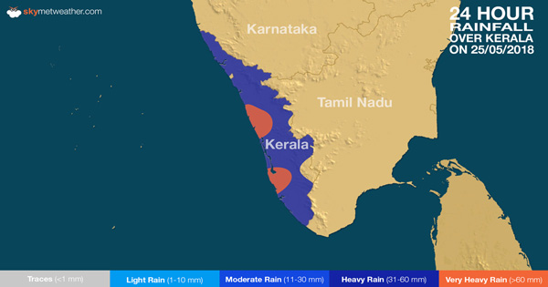
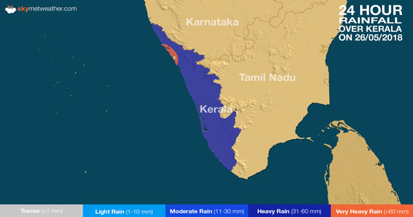
Within the last 24 hours, from 08:30 am on Sunday,Thrissurrecorded 43 mm of rains, Kottayam 35.4 mm,Thiruvananthapuram30 mm, Kochi 28 mm, Punalur 13 mm,Kozhikode12 mm, Kannur 11.4 mm andAlappuzharecorded 11 mm of rains.
Skymet Weather sticks to its projected early arrival of Southwest Monsoon on May 28 which happened with the fulfillment of the pre-requisites required for the declaration of the Monsoon arrival. As per Skymet Weather, normally for the onset of Monsoon, out of the 14 specified locations of Kerala, Karnataka, and Lakshadweep 60% or more stations should record 2.5 mm or more rains on two consecutive days.
As of now, the rains have been on a rise since May 25. So much so that almost the entire state has been raining for the last four days which fulfills the first criteria of Monsoon onset declaration.
Let us take a look at the maps below which depicts the amount of rainfall observed by various stations of Kerala in the last three days:

Additionally, the other pre-requisites like Outgoing Longwave Radiation (OLR) and wind pattern also influence the arrival.
As of now, the well-marked low-pressure area is likely to shift northwards along the coast, main core staying away from the coast. Thus, the state may now get to witness moderate to heavy rains.
In the next 48 hours, further advancement of Southwest Monsoon into some more regions is also anticipated.
Image Credit: Pinterest
Any information taken from here should be credited to skymetweather.com


