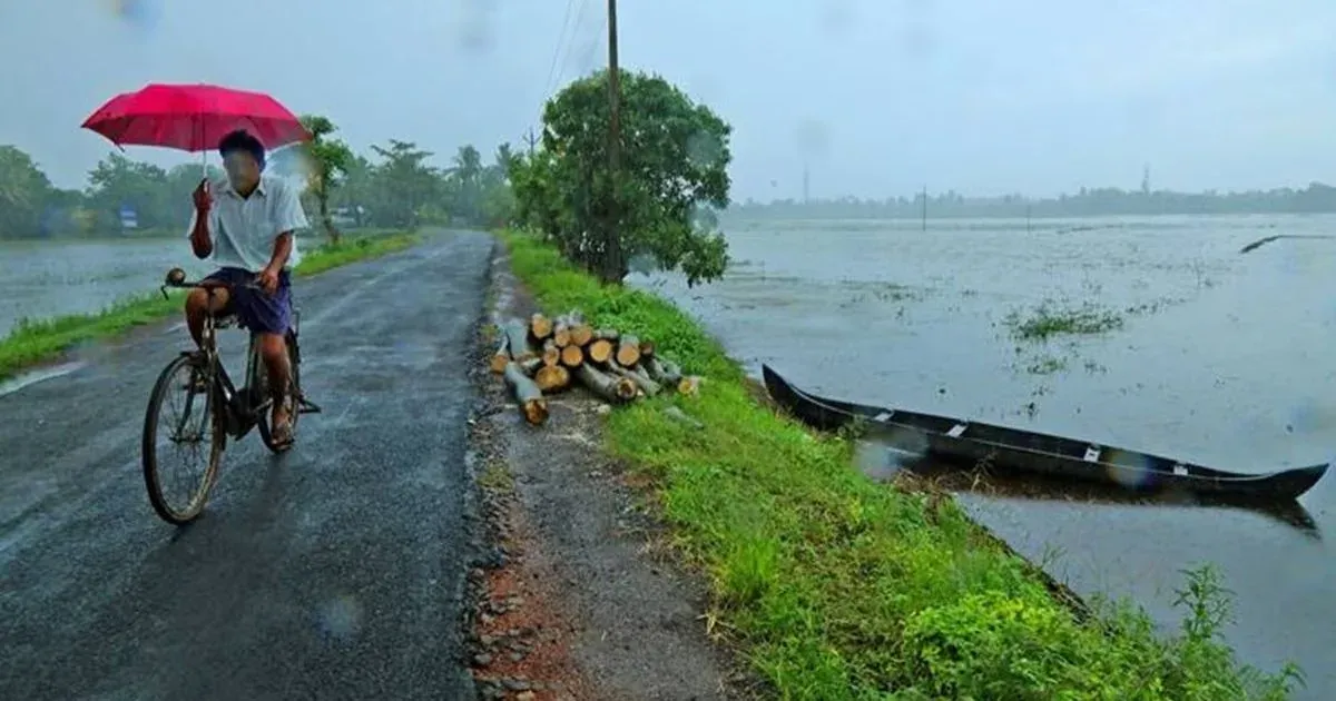
This entire Monsoon, rainfall has been very generous over the central India, especiallyMadhya Pradesh. This is evidently shown by the rainfall surplus figures of the state. At present East Madhya Pradesh is rainfall surplus by 15% whereas West Madhya Pradesh is rainfall excess by 20% than the normal rainfall.
And even the present weather situation states that there will be some heavier downpour over the region. At present a well-marked low pressure system remains stationary over Vidarbha and adjoiningChhattisgarh.
In the higher level, a North-South trough can be marked across East Madhya Pradesh. Places like Pachmarhi, Seoni, Umaria, Mandla and Umaria are the regions that will be affected by these rains.
The weather activity is likely to continue over most parts of East Madhya Pradesh and some parts of West Madhya Pradesh. Mainly moderate rainfall expected South-Southeast parts of Madhya Pradesh and few pockets towards Northeast Madhya Pradesh.
Fairly widespread rainfall occurred in last 24 hours for example places like Khajuraho received 46.6 mm of rainfall, Seoni 12 mm, Satna 23 mm, Sagar 33 mm, Rewa 27 mm, Jagdalpur 8 mm, Betul 9 mm, Hoshangabad 30 mm & Chhindwada received 20 mm of rainfall.
The present weather situation permits that the rainfall will continue over the area for the time being.
Image Credit:Instagram
Please Note: Any information picked from here must be attributed to skymetweather.com


