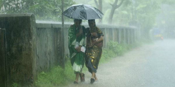
Several parts of Andhra Pradesh and Odisha have been observing good rains since last few days. Moreover, many places in Coastal Andhra Pradesh have managed to record moderate intensity of rains.
In a span of last 24 hours from 8:30 am on Thursday,Bhubaneswarrecorded moderate rainfall of 64 mm,Dhenkanal55 mm,Cuttack44 mm, Titlagarh and Narsapur 37 mm,Puri16 mm, Chandbali 15.4 mm,Paradip11 mm,Kurnool8 mm, Kalingapatnam 4.2 mm,Machilipatnam, Pulbhani andAngul4 mm and Tirupathi andGopalpur2 mm.
These weather conditions can be attributed to a cyclonic circulation which is seen persisting over South Coastal Odisha and adjoining North Andhra Pradesh Coast. Also, another cyclonic circulation can be marked over Northwest Bay of Bengal.
Due to these weather systems, many places over Coastal Andhra Pradesh and Odisha will continue to witness moderate rains and thundershower during the next 24 to 48 hours.
Click here to check the Live Lightning and Thunderstorm status over Andhra Pradesh and Odisha:
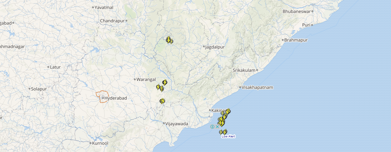
Places such as Anantapur,Chittoor, Cuddapah,Guntur, Kurnool, Nellore, Srikakulam,Vishakhapatnam, Angul, Baleshwar, Cuttack,Deogarh, Dhenkanal,Gajapati, Ganjam, Jajpur,Jharsuguda, Kalahandi, Kandhamal, Keonjhar, Khordha,Koraput, Puri, Sambalpur, Sundargarh, Mahbubnagar, andNalgonda are likely to see few spells of moderate rains with moderate lightning.
Thereafter, the intensity of these good Monsoon rains is expected to reduce significantly over both the states. Though scattered light rains will keep on occurring over these regions.
[yuzo_related]
As predicted by Skymet Weather, withdrawal of Southwest Monsoon 2017 has finally paved its way towards its end. Therefore, reduced rainfall activities are further anticipated from the entire country.
As on September 28, the sub-divisional rainfall distribution statistics show that Odisha is rain deficient by 9% and Coastal Andhra Pradesh is rain surplus by 14%.
Image Credit: alamy.com
Any information taken from here should be credited to skymetweather.com


