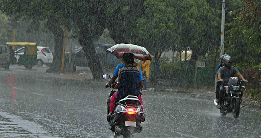
Central India until September 27 is rain surplus by 26%. These figures can be attributed to the consecutive weather systems in the Bay of Bengal.
A Cyclonic Circulation over southwest Uttar Pradesh and neighbourhood now lies over south Uttar Pradesh and adjoining North Madhya Pradesh and extends up to 4.5 km above mean sea level. A Trough runs from the above Cyclonic Circulation to northeast Bay of Bengal across Jharkhand and Gangetic West Bengal and extends up to 3.1 km above mean sea level.
The rainfall activity overMadhya Pradeshwill now reduce marginally but moderate rains will continue over Northwest, Northeast and its adjoining regions.
Also, during the next 24 hours, the northern parts of Chhattisgarh may seemoderate rainwith isolated heavy spells during the next 24 hours.
The rest parts of these states will continue to see light rains only. As per the present situation, it seems that rain will continue over Madhya Pradesh andChhattisgarhduring the next three to four days which will be of light to moderate in nature.
We can expect a possible break in rainfall activity around October 5 or 6.
In the past 24 hours, the states have recorded heavy to very heavy rains especially the southeastern and extreme northeastern parts of Madhya Pradesh.
Like for instance significant rains were recorded over Chhindwara, Seoni, Sidhi, Khajuraho and Ujjain of 130 m, 85 mm, 84 mm, 52 mm, 50 mm, respectively.
Weather alert for Chhattisgarh
Intermittent spells of moderate rain and thundershower will continue at many places of Baloda Bazar, Balrampur, Bemetara, Bilaspur, Dhamtari, Durg, Gariabandh, Janjgir - Champa, Jashpur, Kabeerdham, Korba, Koriya, Mahasamund, Mungeli, Raigarh, Raipur, Rajnandgaon, Surajpur and Surguja during next 6-8 hours.
Image Credits – The Indian Express
Any information taken from here should be credited to Skymet Weather


