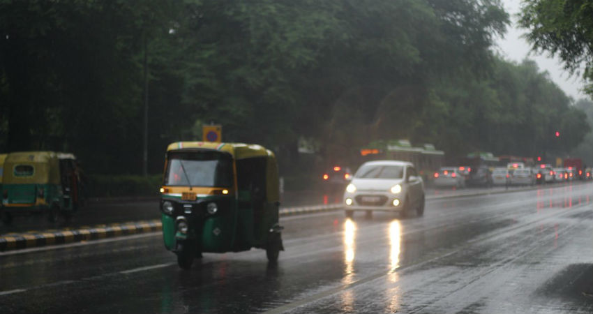
Delhi rainshave been very beautifully playing the game of hide and seek for the last few days. Now, the Western Disturbance lies over North Pakistan and adjoining Jammu and Kashmir. Its induced Cyclonic Circulation is over Punjab. However, in the presence of the Low-Pressure Area over Rajasthan and Gujarat, the winds are easterly and are moderate to strong in nature.
According to weathermen, the Well-Marked Low-Pressure Area is likely to weaken during the next 24 hours. Also, the Monsoon Trough presently lying over the central parts of India is likely to shift North gradually.
Currently, due to strong winds and available moisture, low clouds are likely to prevail during the morning and night hours over theDelhi region. With this, passing short spells of rain are expected in pockets. However, as the Trough will start shifting to the North, the intensity of rain will gradually improve from August 12 onward. Hence, we expect a few good spells between August 13 to August 15.
The weather during the afternoon will be warm and humid with patchy clouds. In the presence of strong winds, the weather will be comfortable. In the last 24 hours as well, patchy rains have been noticed in many pockets of Delhi and NCR area. Like Safdarjung recorded 0.9 mm of rains while traces of rain were seen in and around Palam. Even today morning short sprinkles were observed and there are chances that during the day some pockets might see light rain.
Image Credits – DD News
Any information taken from here should be credited to Skymet Weather


