
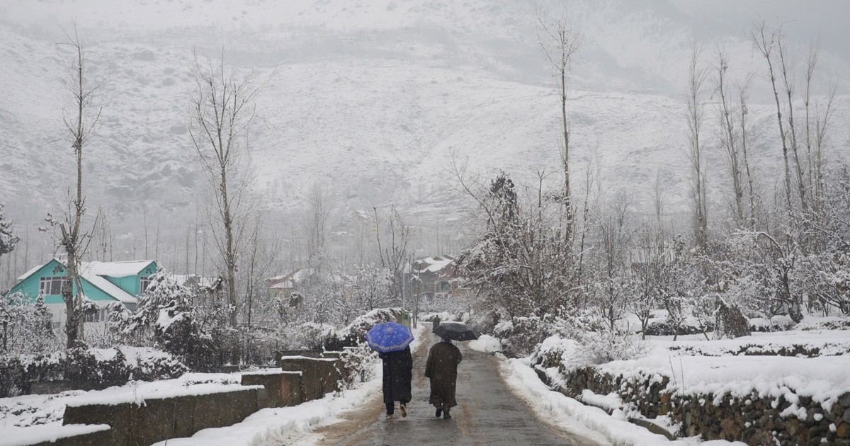
The month of January has ended on a positive note with PAN India rainfall being surplus by 40%. The spatial extent and intensity of cold wave in the northern plains were more than the normal. Delhi observed a record 8 cold wave days during the month (January).
With crop sowing completed across 67.5 million hectares the country has achieved the highest ever crop area since independence, this is 2.86% more than last year and giving hopes of yet another record output. The coverage of wheat has also touched the record highest level – 3.13% more than last year. The paddy acreage has also gone up sharply by 15.24% last year. However, this is significantly down by over 25% as compared to the average area during this time. As per the latest sowing data, the area under pulses and oilseeds have also gone up by 2.61% and 5.34% respectively from last year. Mustard has registered a record acreage this year – up by 7.34% from last year. Higher areas have been reported from Rajasthan, Haryana, Jharkhand and Madhya Pradesh. Courtesy good rains during post Monsoon, the water storage is adequate – 22% more than the 10-year average. It also means that irrigation is not going to be a crunch. The government has set a target of producing over 300 million tonnes of food grains with Rabi season crops contributing 151.65 million tonnes. Rabi’s last year was a record output of 153.27 million tonnes.
Unseasonal weather activity is expected over central and eastern parts of the country during the week. South India is preparing to switch over to warm and humid conditions. Cold wave conditions are likely to ease out over North India.
North India
The week will commence with a western disturbance arriving over Jammu, Kashmir, Himachal Pradesh and Uttarakhand between 1st and 4th of February. This system is likely to induce a cyclonic circulation over west Rajasthan on 2nd of February which will later shift over Madhya Pradesh and Chhattisgarh. Rain and snow are expected over the hilly states during the first half of the week. Punjab, Haryana and north Rajasthan are likely to have rain and thundershowers between 3rd and 5th of February. Rain belt will extend to cover Uttar Pradesh also between 4th and 6th of February. The cold wave is expected to abate from North India by 2nd February. Dense fog will return over most parts during the second half of the week.
East and North-east India
Windy conditions will intensify the cold wave over parts of Bihar, Jharkhand and North Bengal till 4th of February. Light rain is quite likely over these parts between 5th and 6th February. Weather activity over North East India will confine to Arunachal Pradesh and Assam on 6th and 7th of February.
Central India
Unseasonal rain and thundershowers with isolated hailstorm are expected over Vidarbha, Madhya Pradesh and Chhattisgarh between 4th and 6th of February. Above normal temperatures are likely over parts of Maharashtra, Madhya Pradesh, Chhattisgarh and Odisha during the second half of the week. Contrastingly, Gujarat and western parts of Madhya Pradesh will witness mercury falling below normal during this period.
South India
South coastal parts of Tamil Nadu may witness light rain in the first two days of the week, rest of the region will nearly remain dry for the entire duration. Day temperature will gradually rise to cause warm and humid conditions in the coming days.
Delhi NCR
Cold wave conditions are likely to abate early in the week itself. Rain and thundershower with the possibility of hailstorm in some areas are expected between 3rd and 5th of February.
Chennai
No rain is expected for the capital city this week. Warm and humid conditions will gradually build up. Maximum and minimum temperatures are likely to be around 32 and 22 degrees respectively.
Delhi Pollution
There was marginal relief for Delhi NCR on 29th and 30th January, the pollution levels reduced to some extent.
Winds are now very light, and pollution has spiked once again. These light and variable winds will lead to a further increase in air pollution. It may be in the ‘Very Poor’ category over most pockets with isolated pockets in ‘Severe’ category.
Wind speed is expected to pick up pace on February 3rd and 4th which may reduce the level of pollution. Few pockets may come under the ‘Moderate’ category. Rain is also expected on February 4th and 5th over many parts of Punjab, Haryana, western UP and scattered over Delhi NCR.
These rain and thundershower activities are expected to give much needed relief to Delhi NCR by the 5th of February and onwards.
