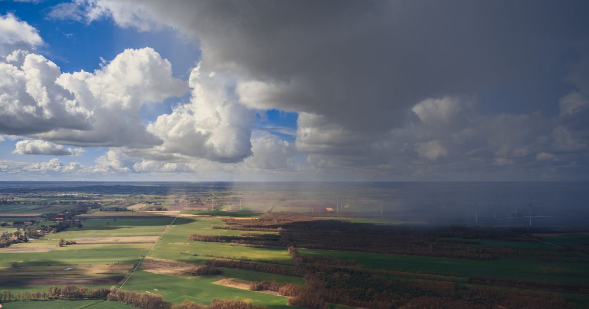
While plains of North India still struggle to find the first winter rains of January 2024, parts of Madhya Pradesh, Uttar Pradesh and Gujarat witnessed stray showers over the last 48 hours. The weather activity will cease henceforth over these parts and shift to Maharashtra for the next 24 hours. An east-west oriented narrow stretch of clouds will run across North Madhya Maharashtra, North Marathwada and the adjacent border area of Vidarbha. General clearance is expected from 11thJan onwards for the entire region.
Earlier, under the combined influence of cyclonic circulation over Haryana & Rajasthan and powerful outflow from displaced anticyclone over central and eastern parts, mostly a northeast-southwest oriented convergence zone developed over parts of Gujarat, East Rajasthan, West Madhya Pradesh and the western half of Uttar Pradesh. Consequently, unseasonal rain and hailstorms were observed in some pockets of these sub-divisions, over the last 2-3 days. Chambal and Malwa region of Madhya Pradesh were the highlights of this unseasonal weather activity.
Chambal region comprises of northern bulge of Madhya Pradesh, hosted between the Chambal and Yamuna river valleys. Gwalior, Sheopur, Bhind, and Morena blocks form the core of the Chambal region. Actually, the Chambal region is spread across three contiguous states North Madhya Pradesh, Southeast Rajasthan and Southwest Uttar Pradesh. While parts of Rajasthan and Uttar Pradesh observed scattered rains, Gwalior and Datia pockets witnessed unusual hailstorm activity. Gwalior recorded rainfall of 23mm and 7mm on successive days, 08th and 09thJanuary.
Malwa region of Madhya Pradesh is formed by Deccan trap-rocks and starts from north of the Narmada and Betwa rivers. It comprises admin blocks of Guna, Rajgarh, Mansaur, Dhar, Ratlam, Ujjain, Sehore, Vidisha, Shajapur and Sagar. Out of these, Ratlam, Ujjain and Dhar regions recorded light rainfall in the last 2 days or so.
Weather activity has weakened and is also likely to shift southward today. The east-west feature will get filled up, in situ. The broadening of anticyclones over this region will dissuade any further activity. Fair weather conditions are likely for the next one week or even longer for the entire region.
Image Credit: indiatvnews