Plains of North India, all-inclusive of Punjab, Haryana, North & West Rajasthan, Delhi and West Uttar Pradesh have unusually remained dry throughout the winter season, so far. Practically, these parts have witnessed zero rainfall during January 2024. The prolonged abnormal and atypical droughty conditions are alarming for these states. The water table in the reservoirs and dams has dipped to the lowest level, raising anxious moments for water resource management.
Though late in the season, a wet spell is arriving soon over all these Meteorological Sub Divisions, simultaneously. Decent spells of rain and thundershowers will lash parts of Punjab, Haryana, Rajasthan, Uttar Pradesh and Delhi. The farther the locations from the foothills, the lesser will be the activity, in terms of intensity and spread. Northern parts of Punjab and Haryana, and particularly along the foothills will have heavy winter showers on 31stJan and 01stFeb.
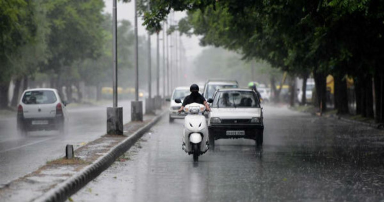
Much-awaited active western disturbances have now queued up in the immediate west of our country. These systems will run a relay race, triggering typical winter weather across the plains of contiguous states, simultaneously. Additionally, a complimentary induced cyclonic circulation in support of the main system is coming up over Punjab. A circulation pattern with a clear divide between the easterly and westerly winds will generate a fair amount of convection and lead to strong spells of rain and thundershowers, all across the region. Strong gusty winds and a few lightning strikes are quite likely during this period. The cold air mass may induce hailstorm activity in some areas. This, of course, does not augur well for the standing Rabi crops. Rains accompanied with strong winds and hailstorms have always been a deadly combination, damaging crops at all stages.
Foothills of plains will be more vulnerable to heavy weather activity. Pathankot, Amritsar, Jalandhar, Hoshiyarpur, Ropar, Chandigarh, Mohali, Panchkula, Ambala, Yamunanagar and Karnal will be at risk of having strong weather activity for longer durations. The complete region will have a breather on 02ndFeb, with minimal and only residual activity. There could be yet another wet spell, albeit not as fierce as the first one, coming up on 03rd and 04thFeb for the northern states.


