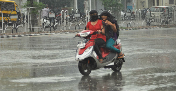
In the last two to three days several parts of Madhya Pradesh have been receiving good amount of rain and thundershower activities. These pre-Monsoon activities were at their peak yesterday when many districts of Madhya Pradesh received light to moderate rains accompanied with one or two heavy spells. Chhattisgarh also received scattered rain and thundershower activities.
At present, a Confluence Zone has formed over Central parts of Uttar Pradesh wherein the Southwesterly winds from Arabian sea are merging with the Southeasterly winds from Bay Bengal over Central parts of Uttar Pradesh.
Due to this Confluence Zone, we expect rain and thundershower activities to continue over many parts of Madhya Pradesh, today. One or two heavy spells accompanied with lightening and dust storm cannot be ruled out. Strong surface winds of 40-50 kmph (gusting to 60 kmph) are also expected at few places in Madhya Pradesh. Scattered rain and thundershower activities are likely to continue over Chhattisgarh.
Gradually, this Confluence Zone will shift eastward. Thus, by tomorrow the weather in Madhya Pradesh will clear up. Chhattisgarh on the other hand, may receive isolated scattered rain tomorrow as well.
By April 19, the weather in both the states will clear up giving way for clear skies and bright sunshine. Temperatures which are below normal at most places will once again start rising.
By April 20, we expect the day temperature in parts of Madhya Pradesh to rise once again and touch the 40 degrees Celsius mark. However, heat wave conditions will not make an immediate comeback in the region.
Image Credits – The Indian Express
Any information taken from here should be credited to Skymet Weather


