During the last 24 hours, fairly widespread rain and thundershower activities have been occurring in the southern and south-eastern parts of Madhya Pradesh, right from Khandwa to Malanjkhand across Betul, Hoshangabad, Chhindwara, and Sioni. While scattered light to moderate rain was observed in the Vidarbha region and Chhattisgarh. The maximums also observed a drop by three to four degrees celsius.
The state of Chhattisgarh, and the Vidarbha region in Maharashtra have been recording good rains in the past 48 hours. Isolated pockets of Marathwada also observed light rainfall.
The reason for these weather activities can be attributed to the presence of an anti-cyclonic circulation that is persisting over the west-central Bay of Bengal. This system is feeding moisture towards the central states of the country. Moreover, a Cyclonic circulation has also developed over East Madhya Pradesh.
So, in the wake of the combined effect of the above-mentioned weather systems, today we expect intense rain and thundershower activities over the northeast and eastern parts ofMadhya Pradesh, also including many parts of Chhatisgarh.
The rainfall activities in the Vidarbha region will be comparatively lesser. And, during the same episode of this rainy spell, the maximums are expected to remain below normal. Isolated hailstorm activities also cannot be ruled out today in many parts of Madhya Pradesh, andChhattisgarhas well.
From tomorrow onwards, the weather activities will start reducing over all the states of Central India. Meanwhile, scattered rain and thundershowers may continue in eastern parts of Madhya Pradesh, and Chhattisgarh. While isolated rain is expected to continue in the Vidarbha region in Maharashtra.
These on and off rainfall activities will continue for the next 48 hours. As the weather activities will start reducing from tomorrow onwards, the maximums will also start rising.
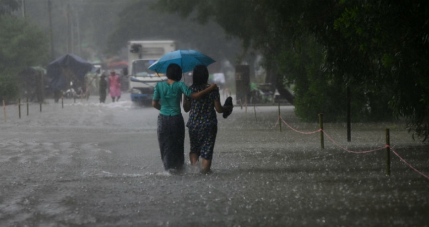
Image Credits- Skymet Weather
Any information taken from here should be credited to skymetweather.com